Vihren mountain guide
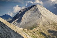
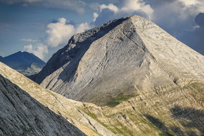
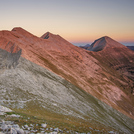
Vihren
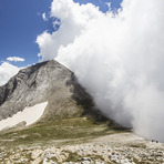
Photo credit: Maya Karkalicheva
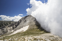
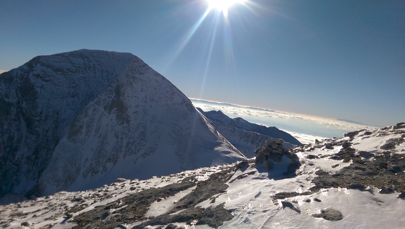
Vihren
Photo credit: Biliana Stefanova
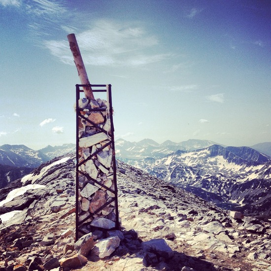
- Elevation: 2915 m
- Difficulty: Walk up
- Best months to climb: March, April, May, June, August, September, October, November
- Convenient center: Bansko
Vihren Climbing Notes
Pavel Todorov from BULGARIA writes:
Тhe highest peak of the mountain, which has the highest northern wall in Bulgaria. Known for the Edelweiss, Vihren attracts many people from around the world.
It also offers close views of Kutelo and the entire marble ridge (Banski Suhodol, Bayuvi dupki, etc.)
The shortest and easiest route is from the Vihren hut through the Kabata area and the most difficult through the Djamdzhiev ridge - alpine ridge.
In winter it is obligatory to be with an Alpine guide.
2018-10-11 |
Click here to submit your own climbing note for Vihren
|
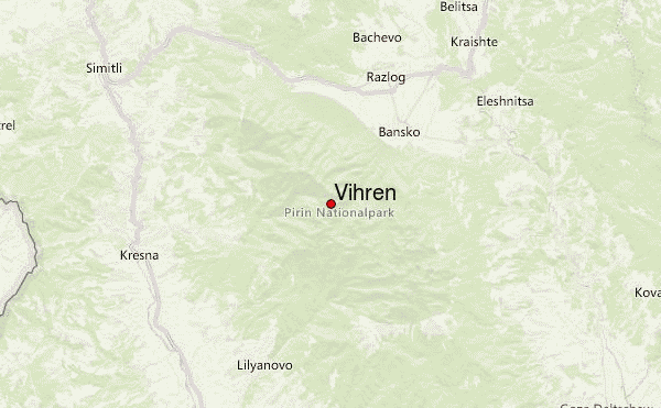
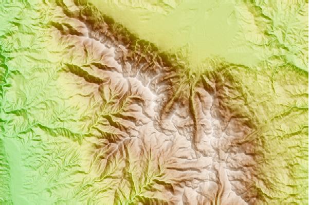
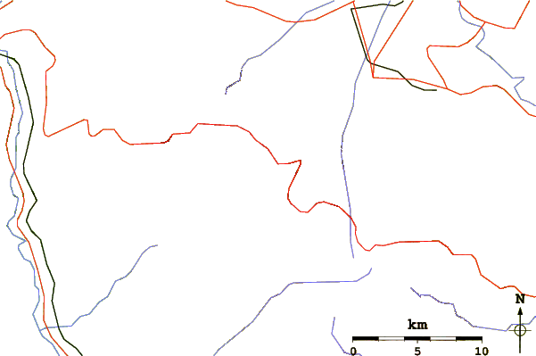
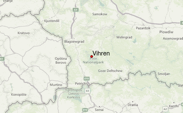
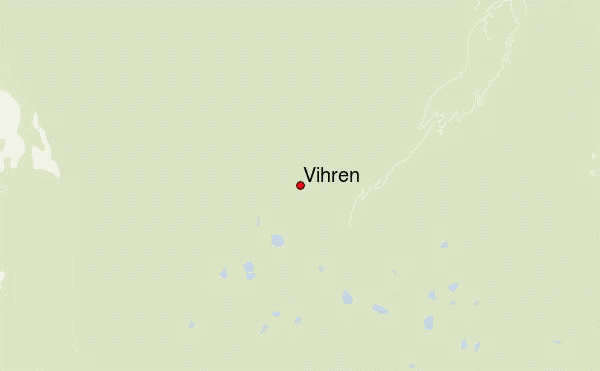
Select Vihren Location Map Detail:
Use this relief map to navigate to mountain peaks in the area of Vihren.
10 other mountain peaks closest to Vihren:
 Vihren – Climbing, Hiking & Mountaineering information


 Like us
 Follow us
