Turnerkamp mountain guide
- Elevation: 3418 m
- Difficulty:
- Best months to climb:
- Convenient center:
Turnerkamp Climbing Notes
Nick from NETHERLANDS writes:
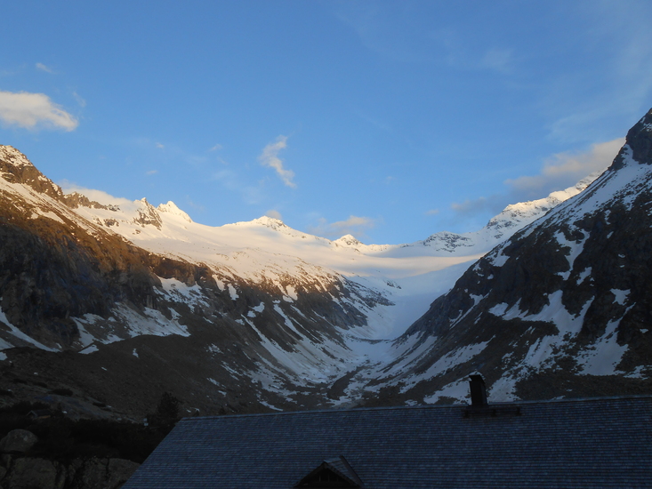
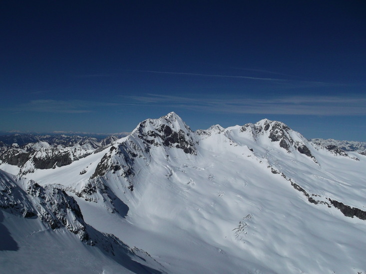
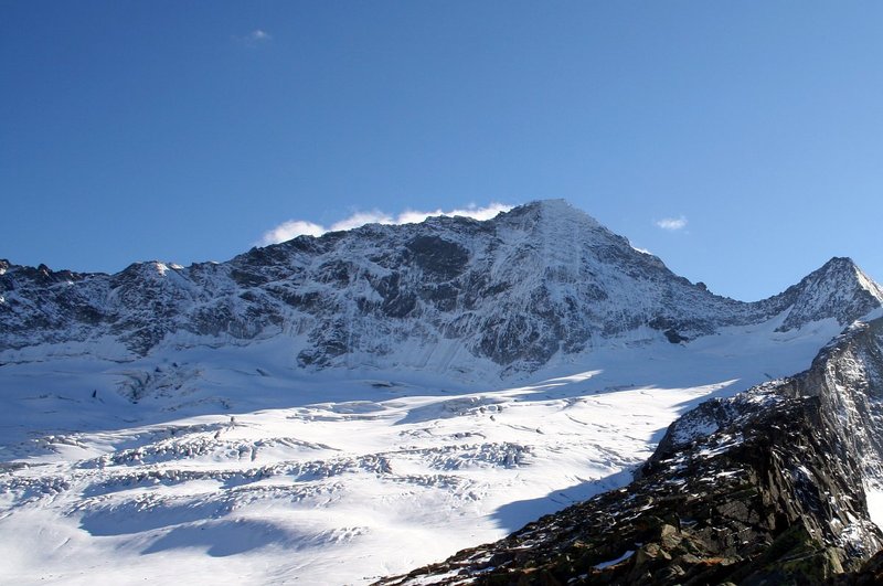
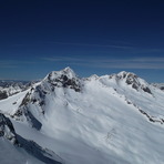
On thursday 13 June 2013 we've climbed one of the peaks near to the Turnerkamp. We stayed at the Berliner Hütte for a good night sleep.
Due the 'bad' weather there were snowfields at a height of approx. 2300m. That is where we could put our ski's on and start climbing the Berliner Spitze, that one of the smaller peaks near the Turnerkamp.
During the last part of the climb we needed crampons to climb the peak itself, when we reached the Berliner Spitze we were on a height of 3254m above sea level. We climbed down and put on our ski's again to ski down on the Hornkees Glacier.
The current conditions were special because normally in June the Turnerkamp and it peaks is climbed on foot and not on skis.
2013-06-15 |
Click here to submit your own climbing note for Turnerkamp
|
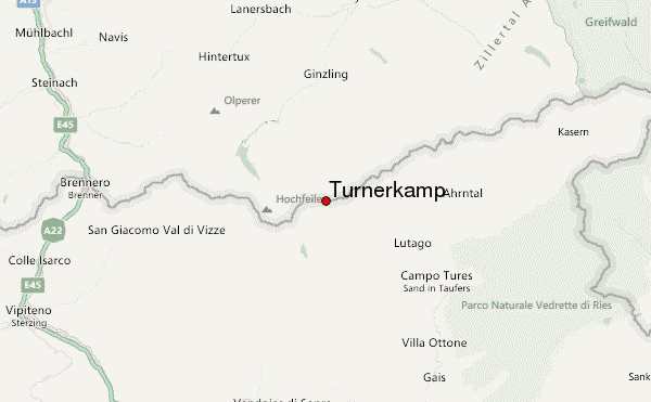
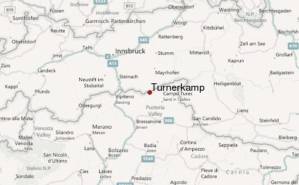
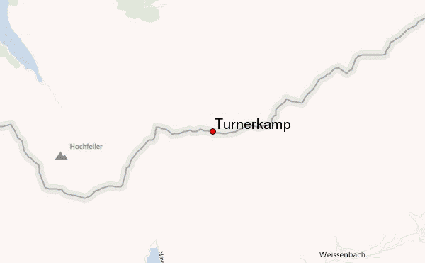
Select Turnerkamp Location Map Detail:
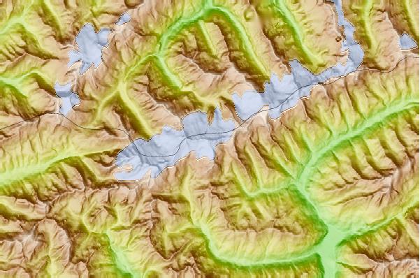
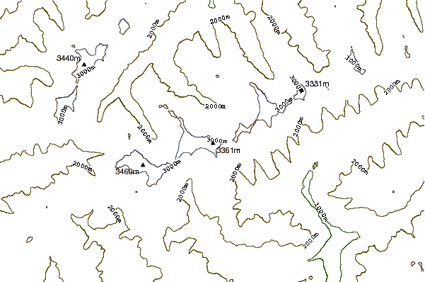
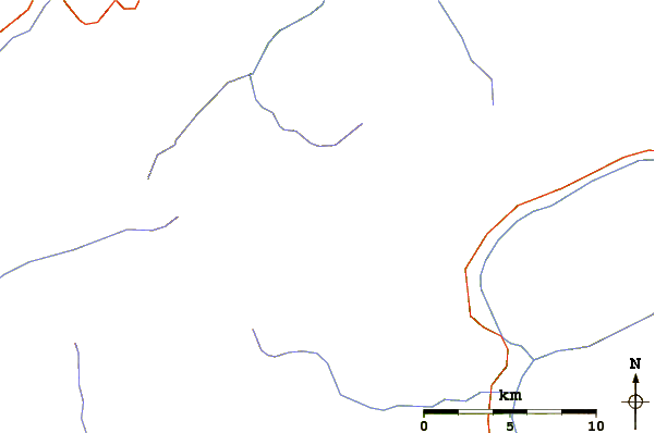
Use this relief map to navigate to mountain peaks in the area of Turnerkamp.
10 other mountain peaks closest to Turnerkamp:
 Turnerkamp – Climbing, Hiking & Mountaineering information
 Like us
 Follow us
