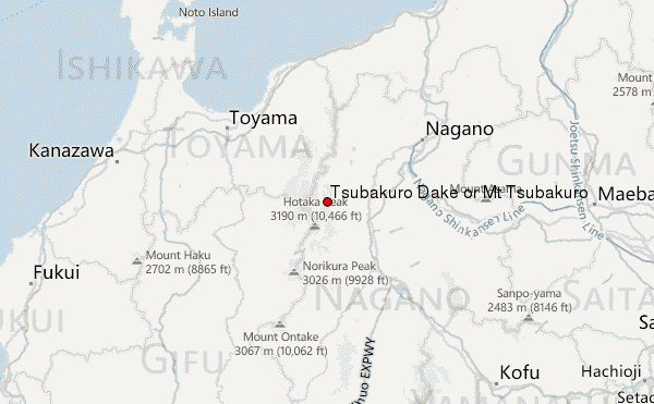
– Lat/Long: 36.40° N 137.72° E
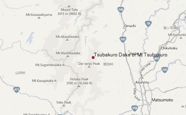
 Tsubakuro Dake or Mt Tsubakuro – Climbing, Hiking & Mountaineering information
Tsubakuro Dake or Mt Tsubakuro – Climbing, Hiking & Mountaineering information
Tsubakuro Dake or Mt Tsubakuro mountain guide
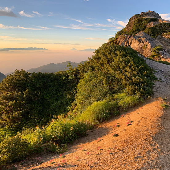
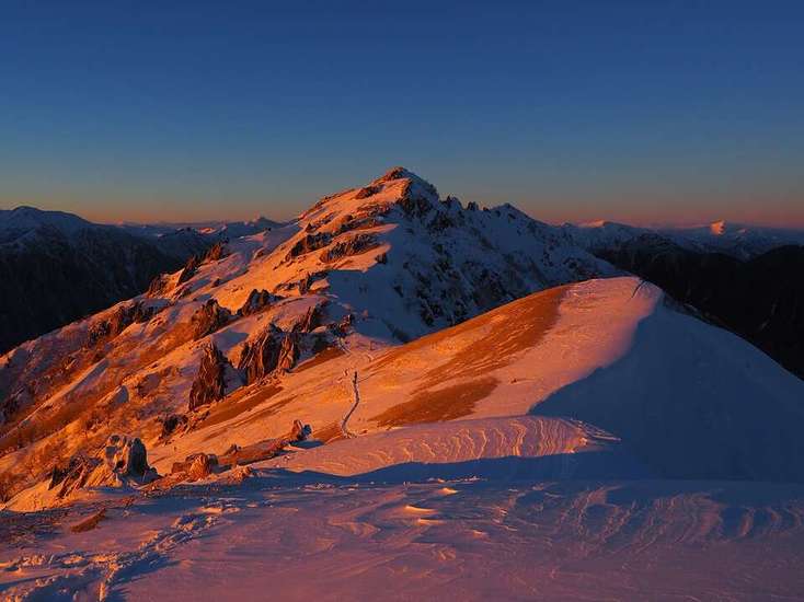
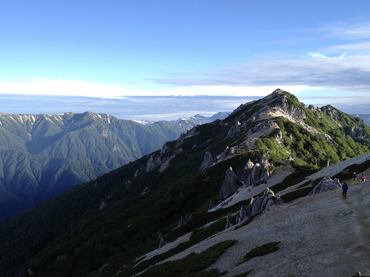
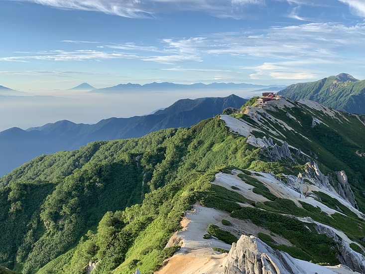
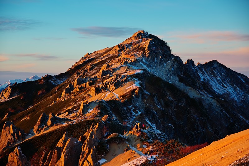
- Elevation: 2763 m
- Difficulty: Walk up
- Best months to climb: July, August, September, October
- Convenient center: Matsumoto
Tsubakuro Dake or Mt Tsubakuro Climbing Notes
Click here to read 2 more climbing notes for Tsubakuro Dake or Mt Tsubakuro or submit your own |
| Select a
mountain summit from the menu |
||
|
Select a Mountain Summit
|
||
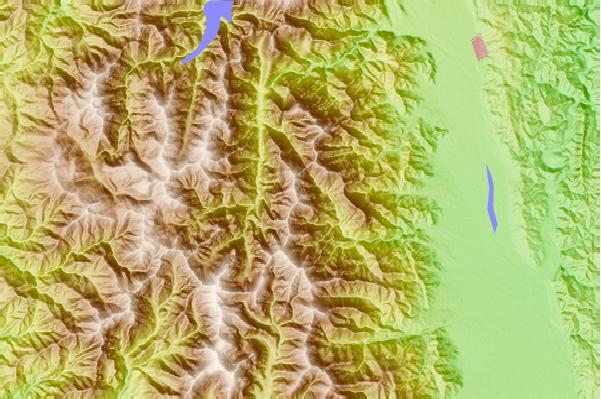
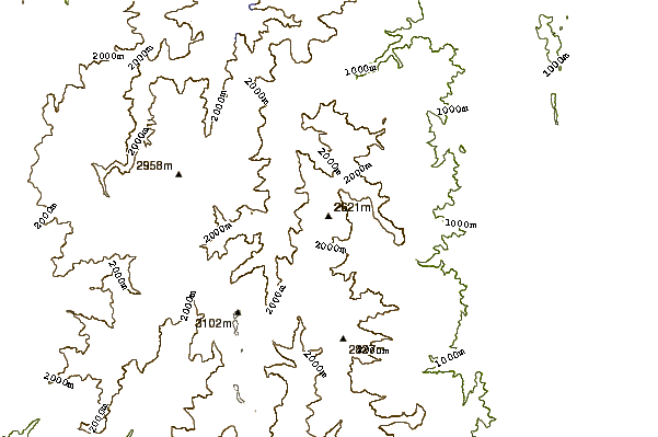
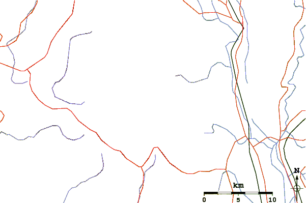
Use this relief map to navigate to mountain peaks in the area of Tsubakuro Dake or Mt Tsubakuro.
10 other mountain peaks closest to Tsubakuro Dake or Mt Tsubakuro:
| 1. | Jonen Dake (2857 m) | 8.2 km |
| 2. | Yarigadake (3180 m) | 8.8 km |
| 3. | Washiba Dake (2924 m) | 11.3 km |
| 4. | Mount Yumiori (2592 m) | 12.1 km |
| 5. | Mt Chogatake (2664 m) | 12.2 km |
| 6. | Mount Kasa (2897 m) | 12.9 km |
| 7. | Hotakadake (3190 m) | 13.2 km |
| 8. | Mount Kurobegorō (2897 m) | 15.8 km |
| 9. | Mount Yakushi (2926 m) | 17.1 km |
| 10. | Mount Madoriama (914 m) | 18.7 km |

 Like us
 Follow us
