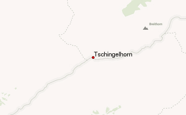
 Tschingelhorn – Climbing, Hiking & Mountaineering information
Tschingelhorn – Climbing, Hiking & Mountaineering information
Tschingelhorn mountain guide
- Elevation: 3562 m
- Difficulty: Basic Snow and Ice Climb
- Best months to climb: July, August
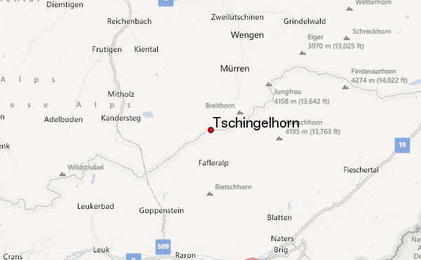
- Convenient center: Blatten or Lauterbrunnen
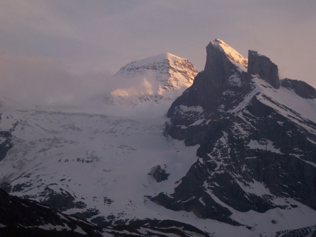
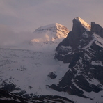
The Tschingelhorn is a two summited peak rising from the Petersgrat at the head of the Lauterbrunnen Valley. The eastern summit is the highest. Though it is an attractive peak in its own right, it is overshadowed by its larger neighbor to the east, the Lauterbrunnen Breithorn (3785 m). A traverse of the two summits from the northeast to the southwest is included in "Berner Oberland Die 100 Schoensten Touren" (Berner Oberland, the 100 Finest Routes) by Hans Grossen with Gaston Rebuffat.
Tschingelhorn Climbing NotesBe the first to submit your climbing note! Please submit any useful information about climbing Tschingelhorn that may be useful to other climbers. Consider things such as access and accommodation at the base of Tschingelhorn, as well as the logistics of climbing to the summit. |
| Select a
mountain summit from the menu |
||
|
Select a Mountain Summit
|
||
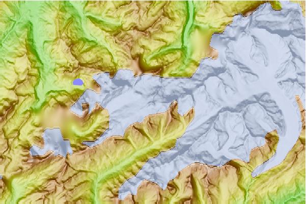
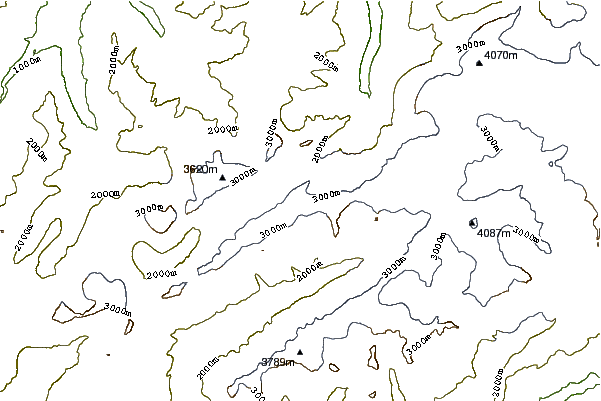
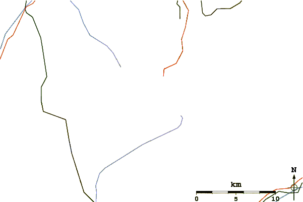
Use this relief map to navigate to mountain peaks in the area of Tschingelhorn.
10 other mountain peaks closest to Tschingelhorn:
| 1. | Breithorn (Lauterbrunnen) (3780 m) | 2.2 km |
| 2. | Mutthorn (3035 m) | 2.3 km |
| 3. | Petersgrat (3203 m) | 3.6 km |
| 4. | Tschingelspitz (3304 m) | 3.6 km |
| 5. | Gspaltenhorn (3436 m) | 3.9 km |
| 6. | Grosshorn (3754 m) | 4.9 km |
| 7. | Bütlasse (3193 m) | 4.9 km |
| 8. | Birghorn (3243 m) | 5.4 km |
| 9. | Blüemlisalp (3664 m) | 5.7 km |
| 10. | Wildi Frau (3260 m) | 6.0 km |
 Like us
 Follow us
