Rachid from MOROCCO writes:
Atlas Mountains Guide
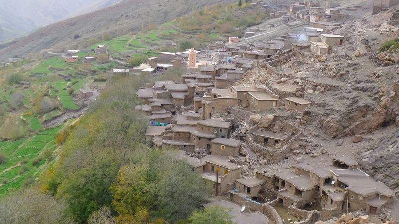
Atlas Mountains Guide is a team of experienced and well–qualified staff. Each of us has worked in the tourist trade for over 7 years and is very knowledgeable about the itineraries of the tours that we lead. We are Berbers, so we can explain best about our culture, traditions and way of life, making the whole trekking experience unique and authentic. We also have strong relationships and networks throughout the High Atlas Mountains area, as well as theSahara desert, the coastline and the imperial cities. We are immensely experienced in organizing tailormade trekking options successfully.We warmly invite you to enjoy the Moroccan mountains in our company and share our Berber experience and our culture.for more info please visit our trekking company atlasmountainsguide
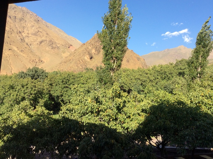
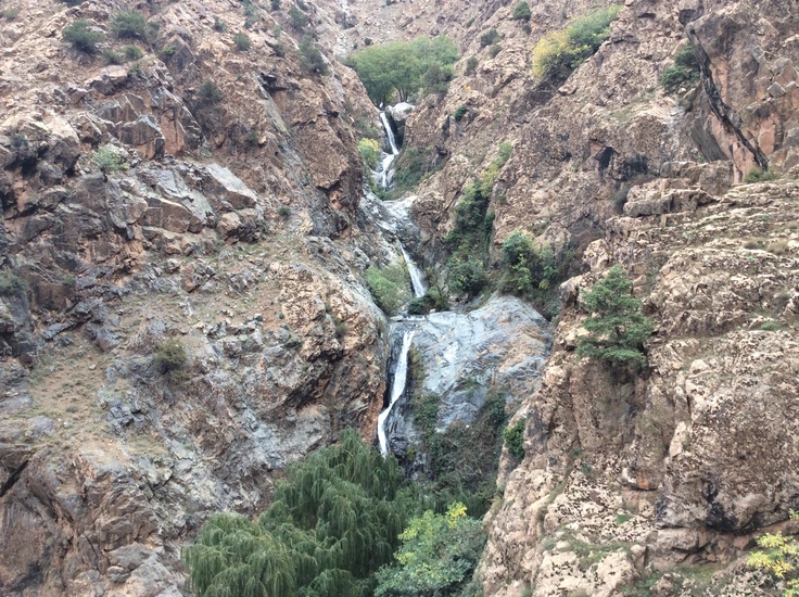
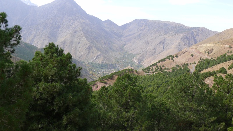
We organize all kinds of trips in the High Atlas and in the desert:• skiing-hiking-trips on mules or camels
• 4x4 tours • from one day to 3 week trips (including mules, cooks, guides, tents and food)
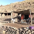
• traditional guest houses• at the end of every day trip, I can provide entertainment for my clients
like: ahwash (berber music)o henna (traditional hand painting) We can offer a variety of holidays - trekking, skiing, sight-seeing or just relaxing - suitable for all ages and fitness levels. Whether you area solo adventurer, honeymoon couple, a family or a group of friends, we can help.* Do you already havean idea of what you want to do during your holiday in Morocco? Let us be your guides and plan your trip !!! * We will study your proposal and will advise you on the best way to carry it through, so as not to waste time in transport, etc... * And no doubt it will always be much cheaper than making arrangements with an Agency.* Are you a group, family or individuals who practices Walking orMountain biking and needs transportation for your equipment during the stages of your journey?
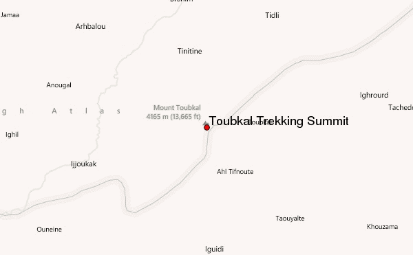
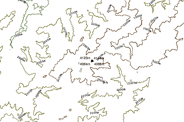
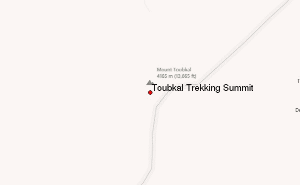
* Do you want to climb Jebel Toubkal (the highest peak in the North Africa)?
* Do not hesitate to contact us using the form above or email directly
2014-07-06 |
 Toubkal Trekking Summit – Climbing, Hiking & Mountaineering information

 Like us
 Follow us
