The Toubkal ascent is an incredible experience. I completed it yesterday (11th December 2011) having never seriously hill walked or hiked before. However I have a fairly high-level of general fitness which you will also need before tackling Toubkal.
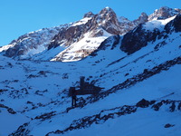
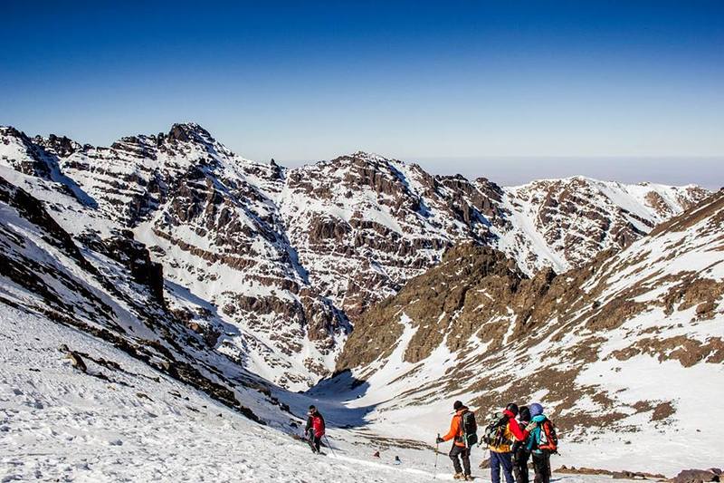
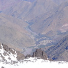
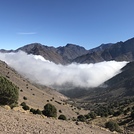
Firstly, you need to be prepared for a long uphill hike (5 to 6 hours) from the village of Imlil to the Toubkal refuge which will thoroughly test your legs prior to the climb the following day. I strongly recommend the use of walking poles as the hike to the refuge can be quite treacherous at times, especially in the winter months.
As you might expect the accommodation at the refuge is very basic but has the important things you require i.e. dorms and a means of cooking. Bring a sleeping bag as the sleeping areas themselves are entirely unheated! That said, blankets were available at the refuge when i visited. The tap water is not generally safe for drinking, so either bring your own or bring along water purification tablets. I was lucky as there was bottled water available at the refuge when I visited, and there are a couple of shops on the way up to the refuge where you can purchase bottled water and snacks if you wish.
On the day of the ascent, you will awake around 5.30 in the morning and start the climb at about 6 to 6.30. Note that the routes up the mountain are different in the winter to that at other times of the year (the winter route apparently being shorter but steeper). Time for the ascent in winter is around 2 to 4 hours depending on your levels of fitness - I managed two and a half hours.. Again I recommend the use of walking poles and also if available an ice axe which will prove to be useful closer to the summit. Crampons are an essential winter item and may also prove useful on the latter stages of the hike to the refuge.
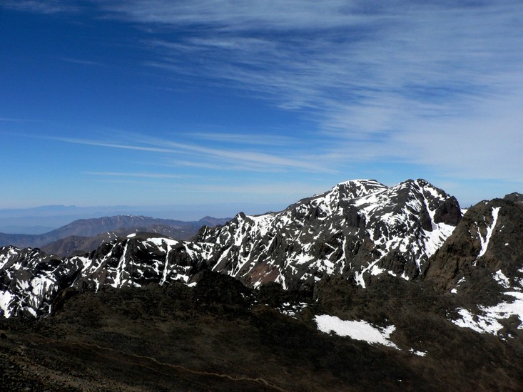
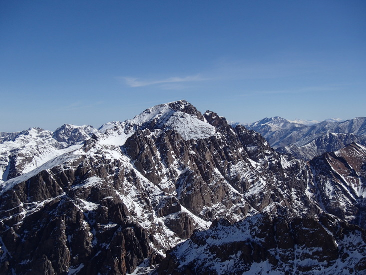
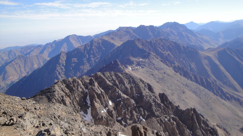
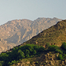
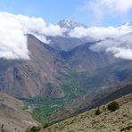
The ascent is fairly non-technical and generally safe, although closer to the summit there are some more dangerous parts where you need to be very careful. I thoroughly recommend the use of an experienced guide to help you navigate a safe route, especially if you haven't climbed before in winter conditions. The oxygen levels at the summit are naturally less then at the level of the refuge, however it is unlikely you will suffer from the effects of any altitude sickness as long as you don't spend too long at the summit. The views from the summit are truly fantastic with views across the entire Atlas mountain range and Morocco in general. Bring a compact camera if you like but keep it inside your clothing in winter as sub-zero temperatures deplete batteries all to quickly!
Upon returning to the refuge, and after an hour or so to recover, you will begin the long hike back down to Imlil.
I booked the climb whilst staying in Marrakech. There are many agencies in Marrakech providing this on their list of excursions. You can expect to pay up to approximately £75 for each of the two days including travel to and from Imlil and including all food. However i suggest bringing some of your own as the rations are quite meagre! Also, be very sure to agree upon the price and what it includes before you commit to anything!
There are a number of places in Imlil where you can hire the necessary equipment (poles, crampons, ice axe etc.) - i paid £25 - and an abundance of accommodation, gites, riads etc where you can stay if you choose to sleep in Imlil.
So in summary, this is generally a safe but also physically taxing ascent which I thoroughly recommend especially if you are new to mountaineering or wish to take hiking to the next level. Enjoy!
 Toubkal – Climbing, Hiking & Mountaineering information

 Like us
 Follow us
