Michael from UNITED STATES writes:
Hello,
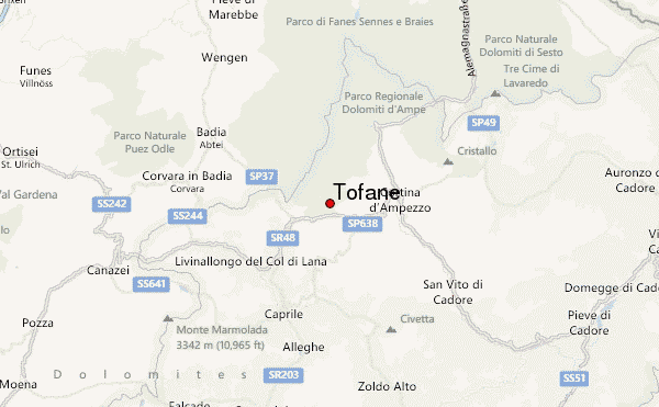
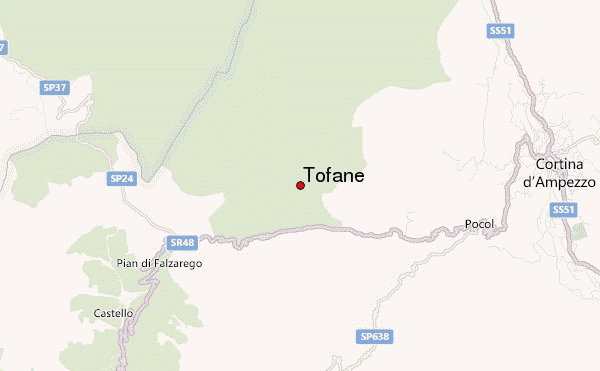
I will be arriving to Cortina D'ampezzo on 25 June, and we will be hiking the mountain area on 26, 27, 28 June. The weather reports rain and thunderstorms and approximately 50 degrees F. Do you believe there will be scattered rains, with some sun and clear skies, or consistent rain and thunderstorms, with cloudy skies for the majority of the time? Is 50 degrees F accurate for 6,000 to 9,000 Feet? Any information on the conditions, weather, which routes will be open or closed, if it will be hazardous or safe to hike, or suggestions and advice, please help. Thank you very much.
-Michael
2016-06-22 |
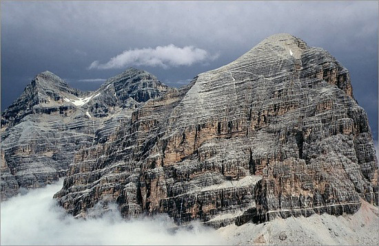
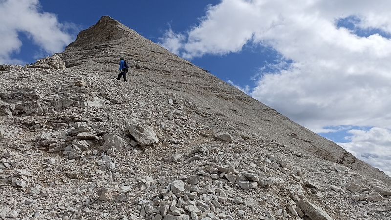
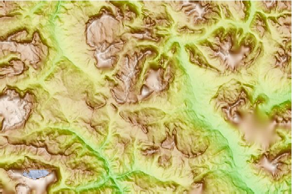
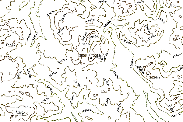
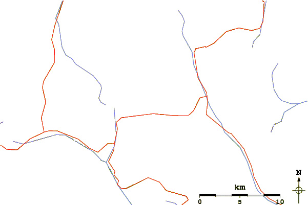
 Tofane – Climbing, Hiking & Mountaineering information

 Like us
 Follow us
