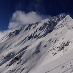
Todorka mountain guide
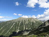
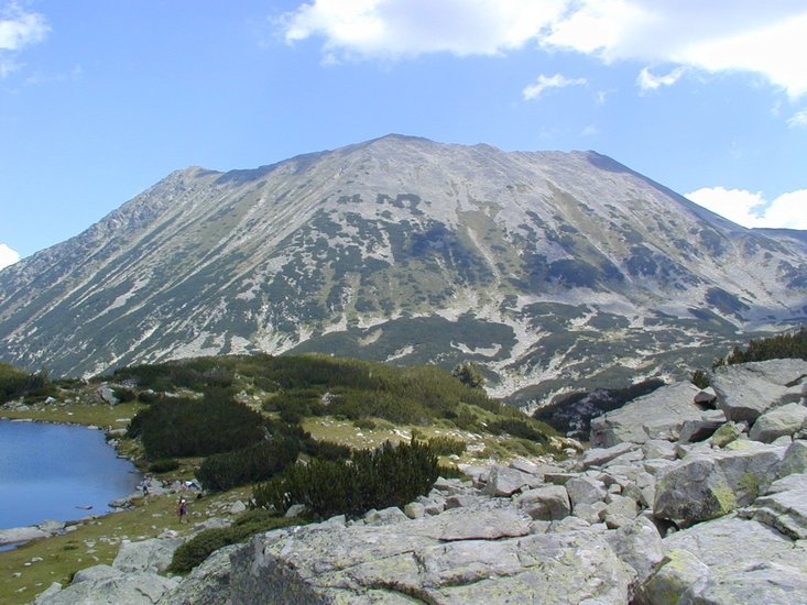
Todorka
Photo credit: Galina Vladimirova
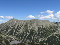
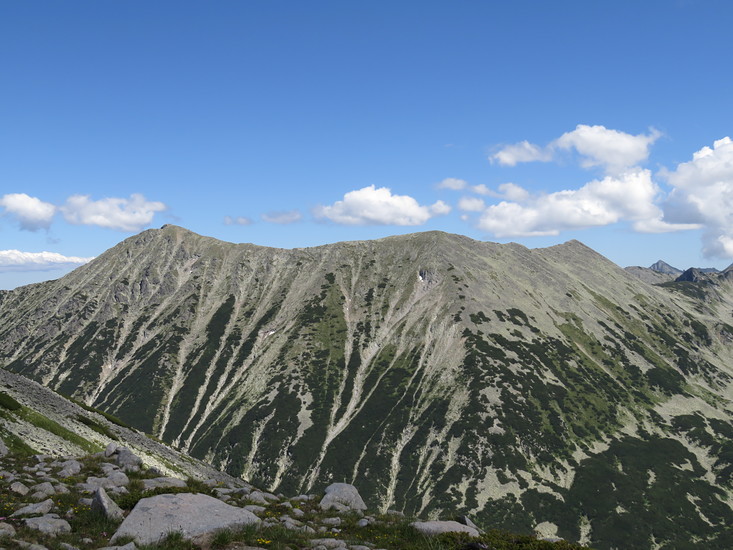
Todorka
Photo credit: Galina Vladimirova
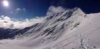
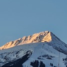
Todorka
Photo credit: Andrey Balevski
- Elevation: 2746 m
- Difficulty:
- Best months to climb:
- Convenient center:
Todorka Climbing Notes
Andrey Balevski from BULGARIA writes:
Winter - The access is really easy. It is a fairly easy 30-50 minutes climb on the North ridge from the top lifts station of Bansko ski area. Sometimes you may need crampons and a rope.
Summer - There are different options. As the lift do not work during summer climbing from the North side is way longer - at least 3 hours. The easiest climb is to follow the trail from Vihren hut in direction Demianitsa hut up to a saddle called Todorina porta /Todorka's gate/. From there you follow a South facing ridge to the first of the peaks Little Todorka. Then you have to go on on the ridge to reach the main peak.
Accommodation
The closest access points are:
Vihren hut - 1950 m, 2 hours.
Demianitsa hut - 1895 м, 2,5 hours.
2013-03-20 |
Click here to submit your own climbing note for Todorka
|
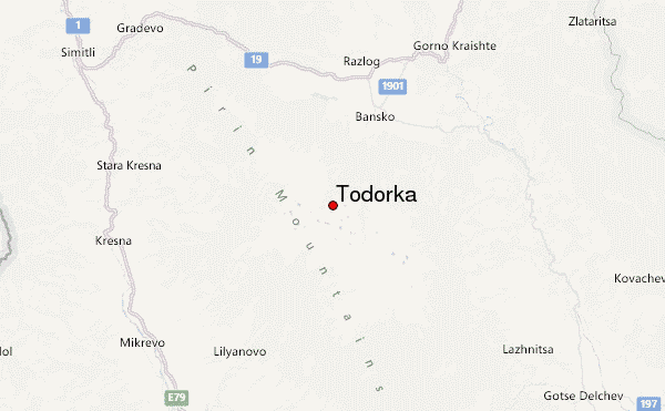
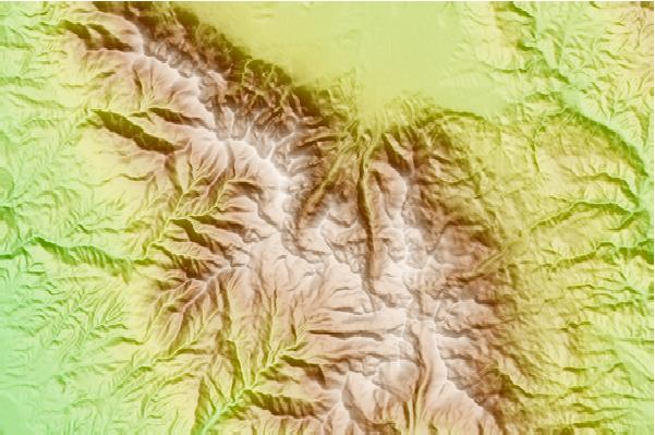
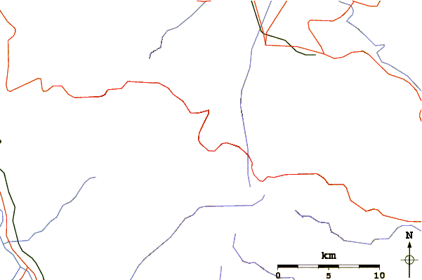
Select Todorka Location Map Detail:
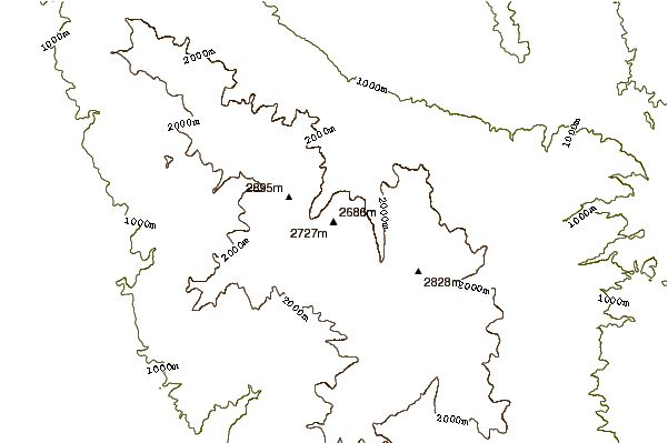
Use this relief map to navigate to mountain peaks in the area of Todorka.
10 other mountain peaks closest to Todorka:
 Todorka – Climbing, Hiking & Mountaineering information


 Like us
 Follow us
