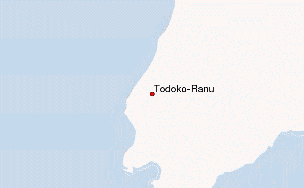
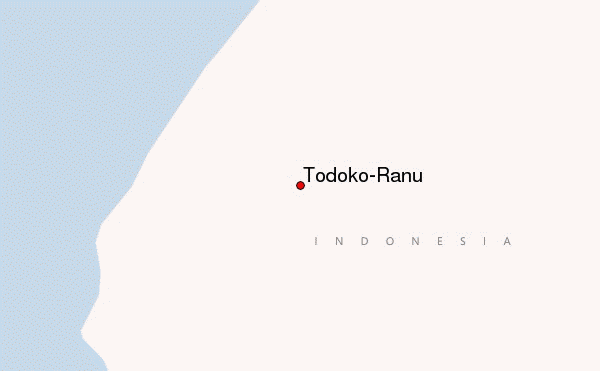
– Lat/Long: 1.25° N 127.47° E
 Todoko-Ranu – Climbing, Hiking & Mountaineering information
Todoko-Ranu – Climbing, Hiking & Mountaineering information
Todoko-Ranu mountain guide
- Elevation: 979 m
- Difficulty:
- Best months to climb:
- Convenient center:
Todoko-Ranu Climbing NotesBe the first to submit your climbing note! Please submit any useful information about climbing Todoko-Ranu that may be useful to other climbers. Consider things such as access and accommodation at the base of Todoko-Ranu, as well as the logistics of climbing to the summit. |
| Select a
mountain summit from the menu |
||
|
Select a Mountain Summit
|
||
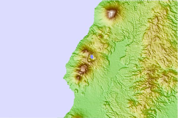
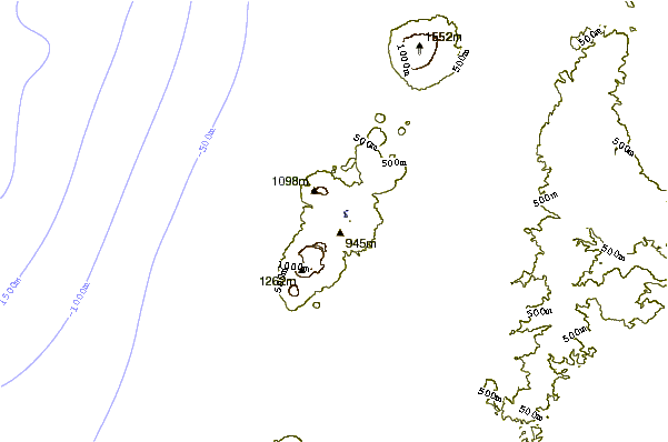
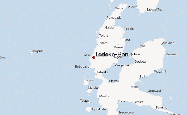
Use this relief map to navigate to mountain peaks in the area of Todoko-Ranu.
10 other mountain peaks closest to Todoko-Ranu:
| 1. | Gamkonora (1635 m) | 16.0 km |
| 2. | Jailolo (1130 m) | 18.9 km |
| 3. | Ibu (1325 m) | 31.2 km |
| 4. | Mount Hiri (630 m) | 44.4 km |
| 5. | Tobaru (1035 m) | 47.8 km |
| 6. | Gamalama (1715 m) | 52.6 km |
| 7. | Dukono (1087 m) | 67.0 km |
| 8. | Mare Island (Indonesia) (308 m) | 76.1 km |
| 9. | Tarakan (volcano) (318 m) | 76.4 km |
| 10. | Moti Island (950 m) | 89.4 km |
 Like us
 Follow us
