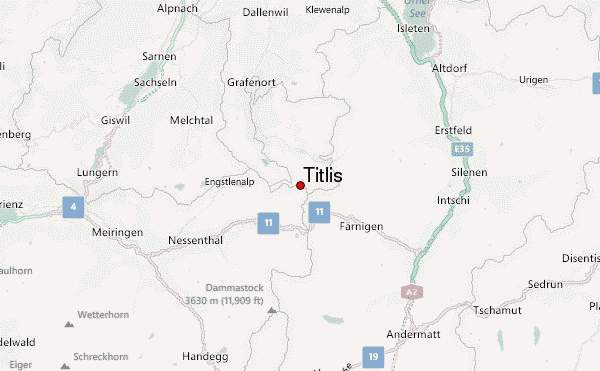
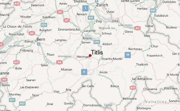
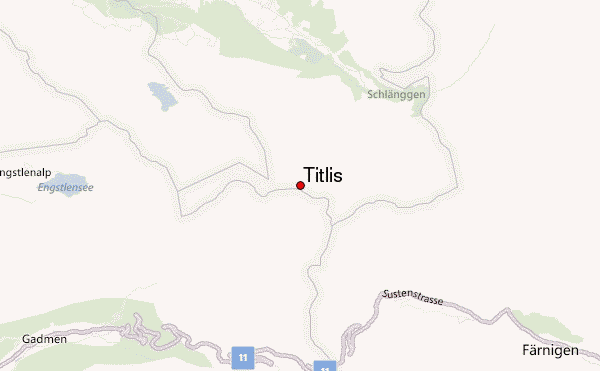
– Lat/Long: 46.77° N 8.44° E
 Titlis – Climbing, Hiking & Mountaineering information
Titlis – Climbing, Hiking & Mountaineering information
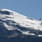
Titlis mountain guide
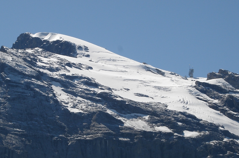
- Elevation: 3238 m
- Difficulty:
- Best months to climb:
- Convenient center:
Titlis Climbing Notes
Click here to read 1 more climbing note for Titlis or submit your own |
| Select a
mountain summit from the menu |
||
|
Select a Mountain Summit
|
||
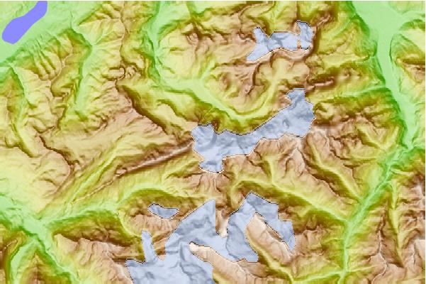
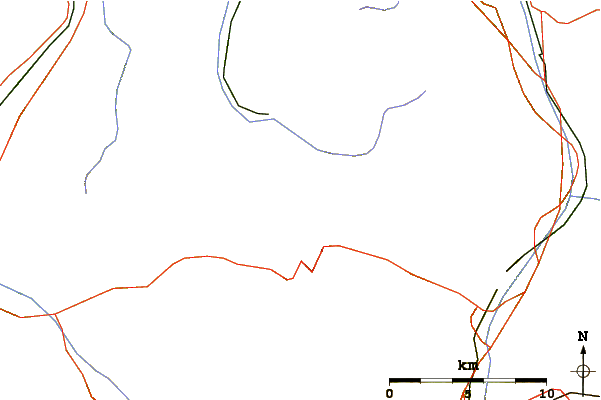
Use this relief map to navigate to mountain peaks in the area of Titlis.
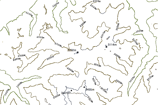
10 other mountain peaks closest to Titlis:
| 1. | Rotstöckli (2901 m) | 0.9 km |
| 2. | Grassen (2946 m) | 1.4 km |
| 3. | Wendenhorn (3023 m) | 2.2 km |
| 4. | Grassengrat (2941 m) | 2.8 km |
| 5. | Jochstock (2564 m) | 3.2 km |
| 6. | Wendenstöcke (3042 m) | 4.5 km |
| 7. | Graustock (2662 m) | 5.4 km |
| 8. | Wissberg (2627 m) | 5.5 km |
| 9. | Hahnen (2606 m) | 5.9 km |
| 10. | Chli Spannort (3140 m) | 6.1 km |
 Like us
 Follow us
