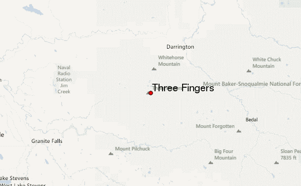
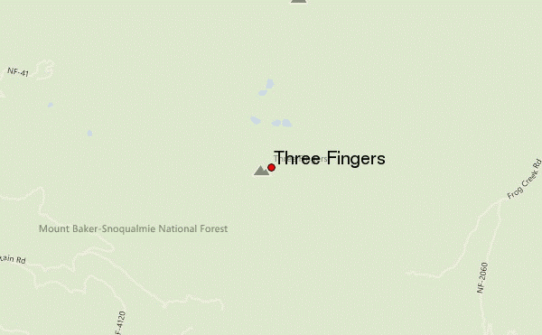
TRAILHEAD: Three Fingers/Goat Flats/Saddle Lake Trail No. 641. To get to the trail, drive 17 miles up the Tupso Pass Rd. No 41, which branches left off the Mountain Loop HWY 6.5 miles east of Granite Falls (the turnoff is unmarked until a small HWY 41 sign about 100ft down the road, so make sure to pay attention!)
ROUND-TRIP DISTANCE: 16 miles if you are lucky enough to start at the trailhead
TIME: On this winter trip, getting up to the lookout took about 7-8 hours at a mellow pace and a few short breaks. On my summer 2008 hike to the lookout, it took us a little under 5 hours to get to the lookout. The descent times were about equivalent to the ascent times.
TRAILHEAD ELEVATION: 3,020 feet
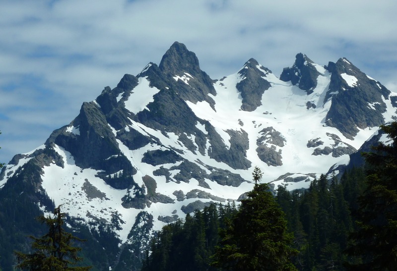
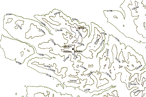
SUMMIT ELEVATION: 6,854 feet (used to be 6,870 ft before 15 feet were blasted in 1931 to make room for the fire lookout cabin).
NOTE: Goat Flats and the lookout are quite popular, especially in the fall when the route becomes more straightforward. If you want to spend a night alone in the lookout, your best bet is to go midweek (or in the winter!).
 Three Fingers – Climbing, Hiking & Mountaineering information

 Like us
 Follow us
