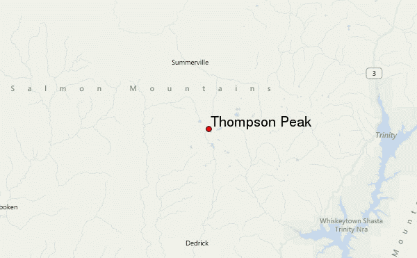
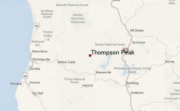
– Lat/Long: 41.00° N 123.03° W
 Thompson Peak – Climbing, Hiking & Mountaineering information
Thompson Peak – Climbing, Hiking & Mountaineering information
Thompson Peak mountain guide

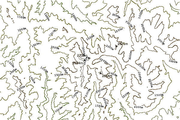
- Elevation: 2744 m
- Difficulty: Walk up
- Best months to climb: July, August, September
- Convenient center: Weaverville, California
Thompson Peak Climbing NotesBe the first to submit your climbing note! Please submit any useful information about climbing Thompson Peak that may be useful to other climbers. Consider things such as access and accommodation at the base of Thompson Peak, as well as the logistics of climbing to the summit. |
| Select a
mountain summit from the menu |
||
|
Select a Mountain Summit
|
||
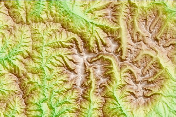
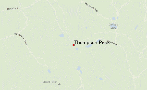
Use this relief map to navigate to mountain peaks in the area of Thompson Peak.
10 other mountain peaks closest to Thompson Peak:
| 1. | Granite Peak (Trinity County, California) (2466 m) | 16.8 km |
| 2. | Ycatapom Peak (2315 m) | 20.3 km |
| 3. | Russian Peak (2499 m) | 32.2 km |
| 4. | Salmon Mountain (California) (2122 m) | 37.7 km |
| 5. | Mount Eddy (2751 m) | 58.5 km |
| 6. | Black Butte (Siskiyou County, California) (1931 m) | 70.4 km |
| 7. | Shastina (3758 m) | 81.6 km |
| 8. | Mount Shasta (4317 m) | 84.0 km |
| 9. | Peak Eight (1559 m) | 87.2 km |
| 10. | Bear Mountain (Siskiyou County, California) (1954 m) | 103.4 km |

 Like us
 Follow us
