– Lat/Long: 56.16° N 126.75° W
 The Thumb (Omineca - Sicintine Range) – Climbing, Hiking & Mountaineering information
The Thumb (Omineca - Sicintine Range) – Climbing, Hiking & Mountaineering information
The Thumb (Omineca - Sicintine Range) mountain guide
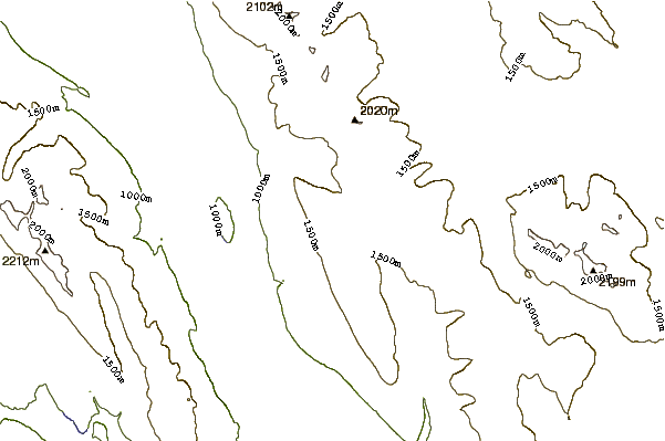
- Elevation: 1854 m
- Difficulty:
- Best months to climb:
- Convenient center:
The Thumb (Omineca - Sicintine Range) Climbing NotesBe the first to submit your climbing note! Please submit any useful information about climbing The Thumb (Omineca - Sicintine Range) that may be useful to other climbers. Consider things such as access and accommodation at the base of The Thumb (Omineca - Sicintine Range), as well as the logistics of climbing to the summit. |
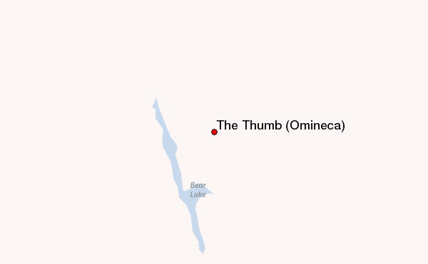
Select The Thumb (Omineca - Sicintine Range) Location Map Detail:
| Select a
mountain summit from the menu |
||
|
Select a Mountain Summit
|
||
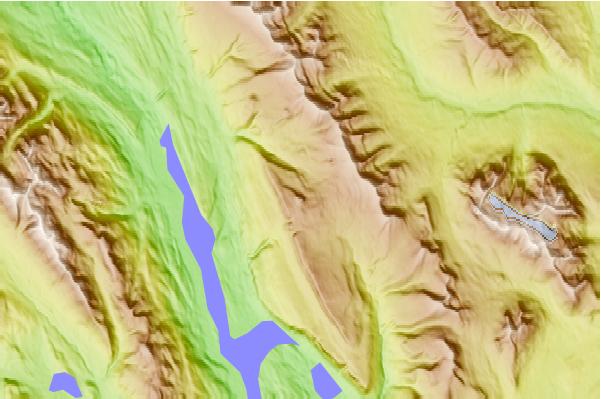
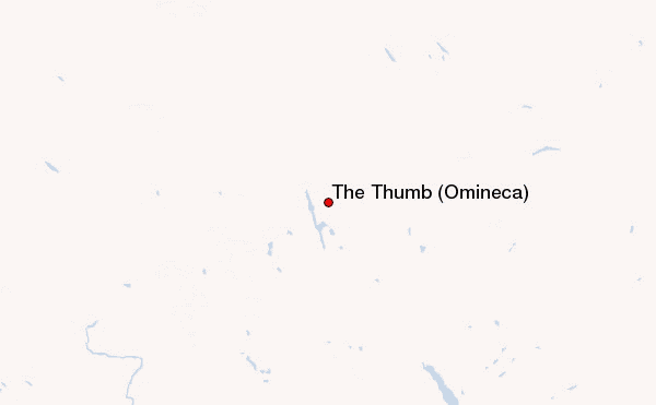
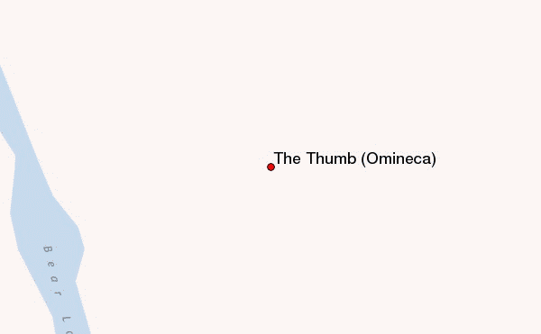
Use this relief map to navigate to mountain peaks in the area of The Thumb (Omineca - Sicintine Range).
10 other mountain peaks closest to The Thumb (Omineca - Sicintine Range):
| 1. | Shelagyote Peak (Sicintine Range) (2472 m) | 36.7 km |
| 2. | Shedin Peak (Atna Range) (2588 m) | 51.9 km |
| 3. | Mount Thomlinson (Babine Range) (2451 m) | 82.9 km |
| 4. | Kispiox Mountain (2096 m) | 113.3 km |
| 5. | Mount Cronin (Babine Range) (2396 m) | 137.4 km |
| 6. | Mount Priestley (British Columbia) (2359 m) | 169.0 km |
| 7. | Lavender Peak (British Columbia) (2306 m) | 170.3 km |
| 8. | Maitland Volcano (2514 m) | 176.6 km |
| 9. | Tseax Cone (600 m) | 178.8 km |
| 10. | Ospika pipe (1550 m) | 187.8 km |
 Like us
 Follow us
