The Priest mountain guide
- Elevation: 1238 m
- Difficulty: Walk up
- Best months to climb: February, March, April, May, June, July, August, September, October, November
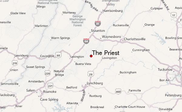
- Convenient center: Lynchburg/Staunton/Charlottesville/Lexington
The Priest Climbing Notes
Mark M from UNITED STATES writes:
Approaching the summit from Route 56 and following the A.T. southbound will let you "earn" the Priest summit. About 40 switchbacks and a great workout starting from the tye river/56. There is a shelter if you push past the summit and to the saddle of the mountain. Spring water available in the cooler months. Great views in winter and decent in summer. Another great approach is to take the Crabtree Falls trail up the mountain and intersect the A.T. northbound towards the summit. Great directions on hikingupward.com
2015-12-09 |
Click here to submit your own climbing note for The Priest
|
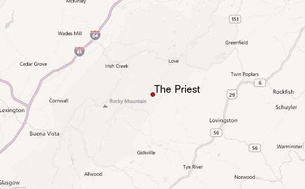
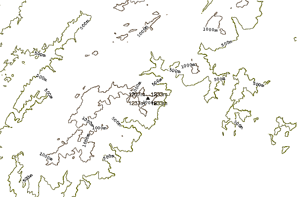
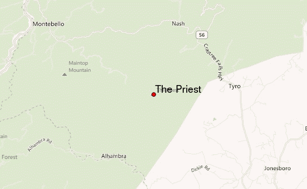
Select The Priest Location Map Detail:
Use this relief map to navigate to mountain peaks in the area of The Priest.
10 other mountain peaks closest to The Priest:
 The Priest – Climbing, Hiking & Mountaineering information

 Like us
 Follow us
