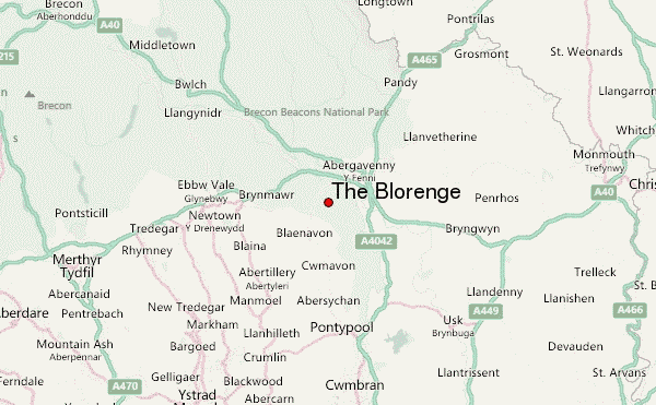
– Lat/Long: 51.80° N 3.06° W
 The Blorenge – Climbing, Hiking & Mountaineering information
The Blorenge – Climbing, Hiking & Mountaineering information
The Blorenge mountain guide

- Elevation: 561 m
- Difficulty:
- Best months to climb:
- Convenient center:
The Blorenge Climbing NotesBe the first to submit your climbing note! Please submit any useful information about climbing The Blorenge that may be useful to other climbers. Consider things such as access and accommodation at the base of The Blorenge, as well as the logistics of climbing to the summit. |
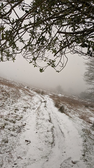
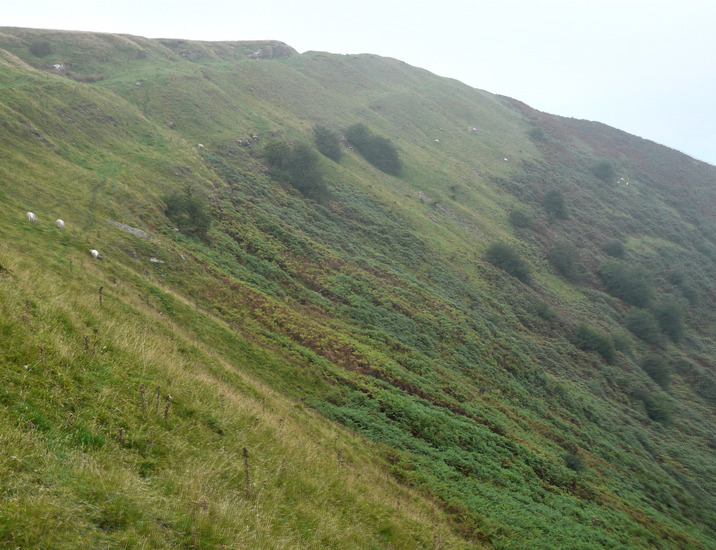
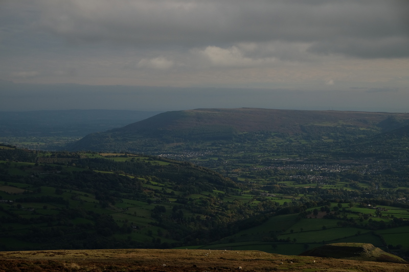
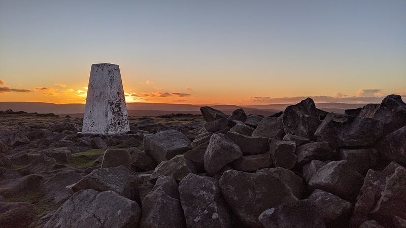
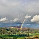
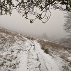
Latest Gallery Images for The Blorenge

| Select a
mountain summit from the menu |
||
|
Select a Mountain Summit
|
||
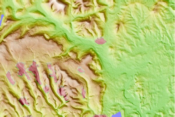
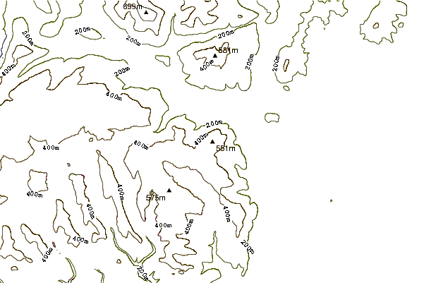
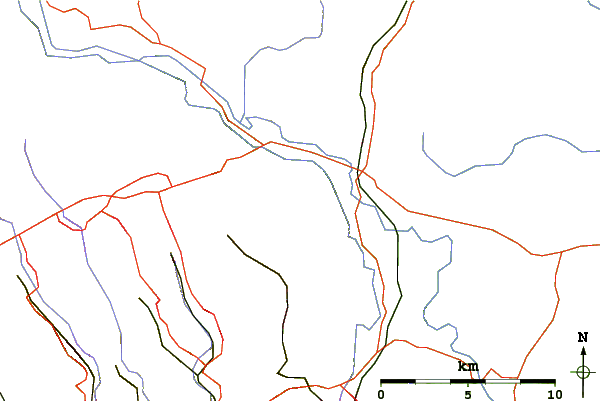
Use this relief map to navigate to mountain peaks in the area of The Blorenge.
10 other mountain peaks closest to The Blorenge:
| 1. | Coity Mountain (578 m) | 5.4 km |
| 2. | Sugar Loaf Mountain (Wales) (596 m) | 6.9 km |
| 3. | Ysgyryd Fawr (486 m) | 8.9 km |
| 4. | Crug Hywel (451 m) | 9.9 km |
| 5. | Crug Mawr (550 m) | 10.9 km |
| 6. | Pen Cerrig-calch (701 m) | 11.7 km |
| 7. | Pen Allt-mawr (720 m) | 14.0 km |
| 8. | Hatterrall Hill (531 m) | 14.5 km |
| 9. | Graig Syfyrddin (423 m) | 16.2 km |
| 10. | Cefn yr Ystrad (617 m) | 18.4 km |
 Like us
 Follow us
