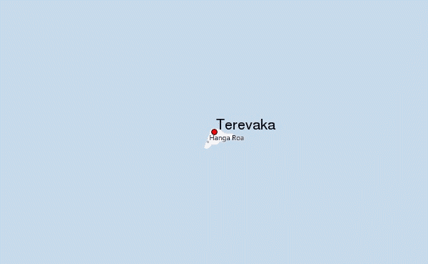
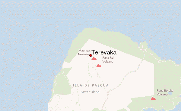
– Lat/Long: 27.08° S 109.38° W
 Terevaka – Climbing, Hiking & Mountaineering information
Terevaka – Climbing, Hiking & Mountaineering information
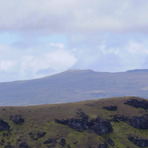
Terevaka mountain guide
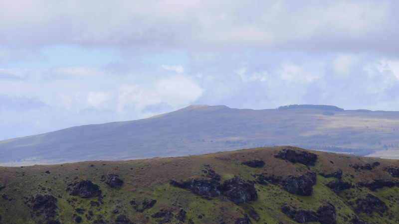
- Elevation: 507 m
- Difficulty:
- Best months to climb:
- Convenient center:
Terevaka Climbing NotesBe the first to submit your climbing note! Please submit any useful information about climbing Terevaka that may be useful to other climbers. Consider things such as access and accommodation at the base of Terevaka, as well as the logistics of climbing to the summit. |
| Select a
mountain summit from the menu |
||
|
Select a Mountain Summit
|
||
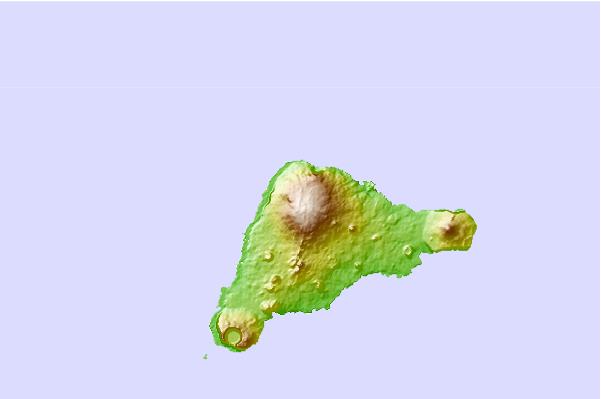
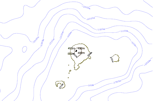
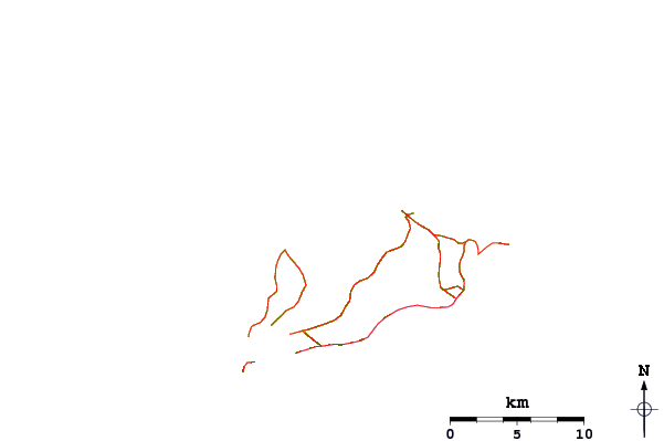
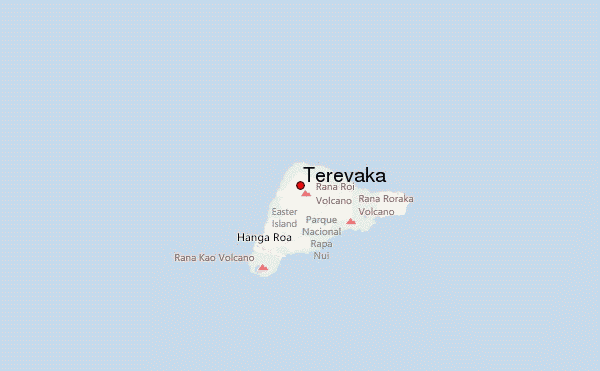
Use this relief map to navigate to mountain peaks in the area of Terevaka.
10 other mountain peaks closest to Terevaka:
| 1. | Pawala Valley Ridge (347 m) | 2082.4 km |
| 2. | Cerro Azul (1690 m) | 3489.1 km |
| 3. | Sierra Negra (1490 m) | 3510.4 km |
| 4. | Sierra Negra (Galápagos) (1124 m) | 3510.4 km |
| 5. | Fernandina (1495 m) | 3531.8 km |
| 6. | Fernandina Island (1476 m) | 3531.8 km |
| 7. | Volcan Alcedo (1130 m) | 3551.1 km |
| 8. | Volcan Darwin (1330 m) | 3565.5 km |
| 9. | Volcan Wolf (1710 m) | 3580.5 km |
| 10. | Cerro Oncol (715 m) | 3604.9 km |
 Like us
 Follow us
