تفتان mountain guide

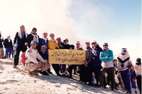
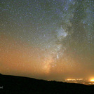
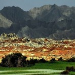
تفتان
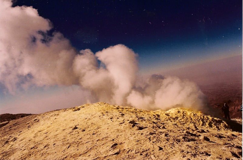
Photo credit: hasan hatefian

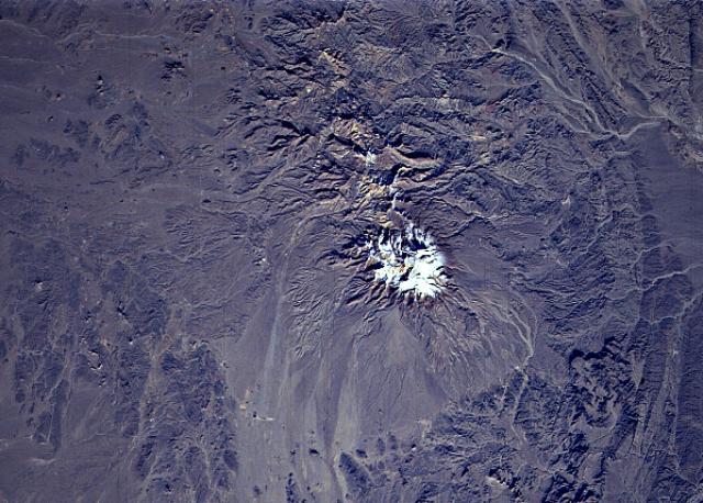
تفتان
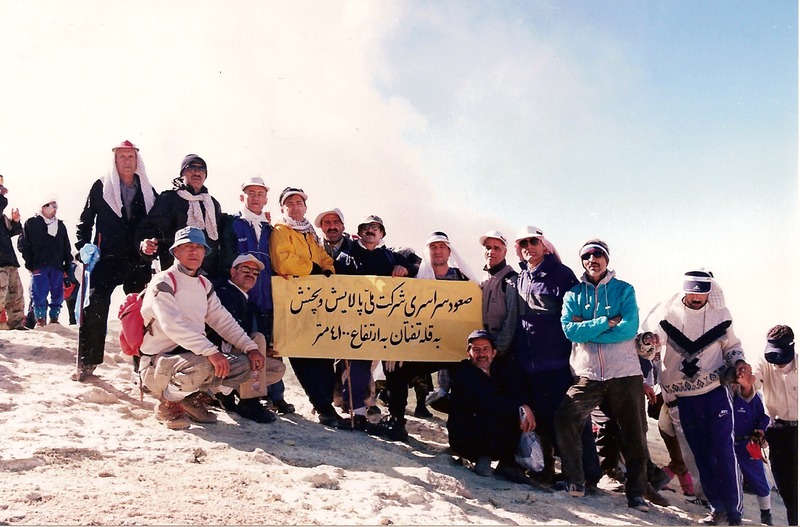
Photo credit: naser ramezani
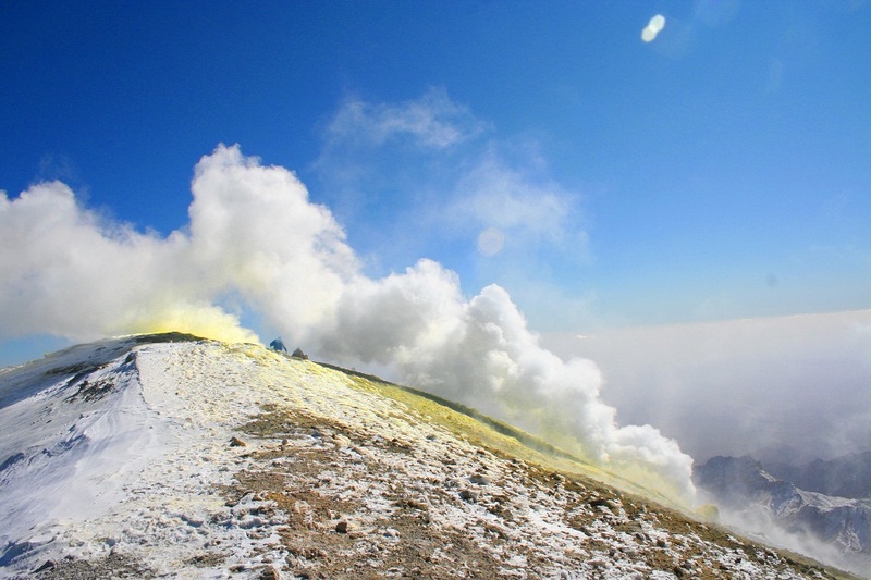
تفتان
Photo credit: naser ramezani
- Elevation: 4050 m
- Difficulty:
- Best months to climb:
- Convenient center: Mirjaveh
تفتان Climbing Notes
Amir Hadad from IRAN, ISLAMIC REPUBLIC OF writes:
I climbed it alone. It’s a twin summit semi-active volcano,actually the summit is similar to Elbrus’ summit. One of them is higher without sulfur crater called Narkooh and another one is Madehkooh with a crater away steaming vents.
It’s in heritage UNESCO site, unique and beautiful where has the best mountain shelter of Iran’s mountains (4 floor ) .
All mountains around are less than 3000 m.
It takes about 3 hours to climb from basecamp to shelter ,then 2h to the summit (Madehkooh)
Just stay away from sulfur vents.
Good luck
2021-03-04 |
Click here to read 2 more climbing notes for تفتان or submit your own
|
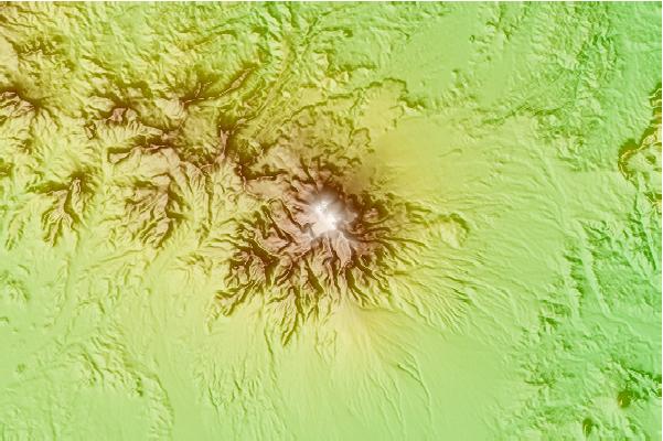
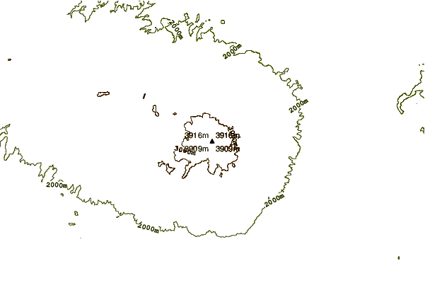
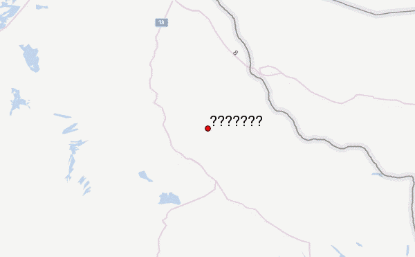
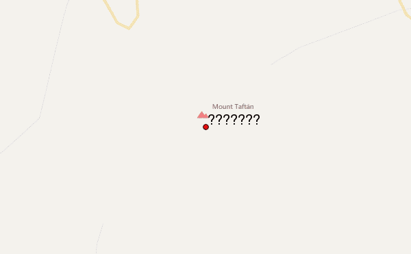
Select تفتان Location Map Detail:
Use this relief map to navigate to mountain peaks in the area of تفتان.
10 other mountain peaks closest to تفتان:
 تفتان – Climbing, Hiking & Mountaineering information

 Like us
 Follow us
