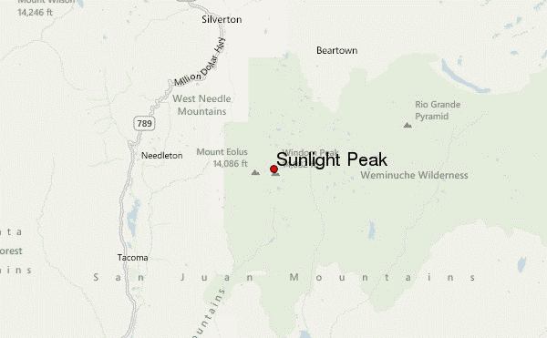
– Lat/Long: 37.63° N 107.60° W
 Sunlight Peak – Climbing, Hiking & Mountaineering information
Sunlight Peak – Climbing, Hiking & Mountaineering information
Sunlight Peak mountain guide
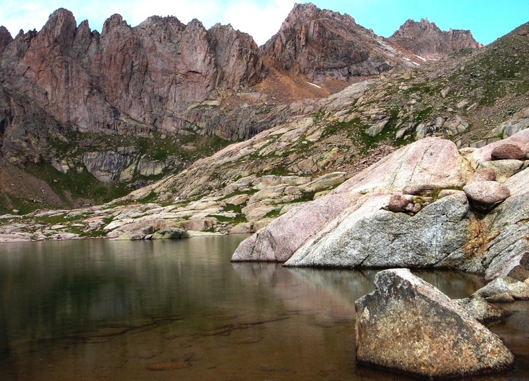
- Elevation: 4285 m
- Difficulty: Scramble
- Best months to climb: July, August, September
- Convenient center: Durango
Sunlight Peak Climbing NotesBe the first to submit your climbing note! Please submit any useful information about climbing Sunlight Peak that may be useful to other climbers. Consider things such as access and accommodation at the base of Sunlight Peak, as well as the logistics of climbing to the summit. |
| Select a
mountain summit from the menu |
||
|
Select a Mountain Summit
|
||
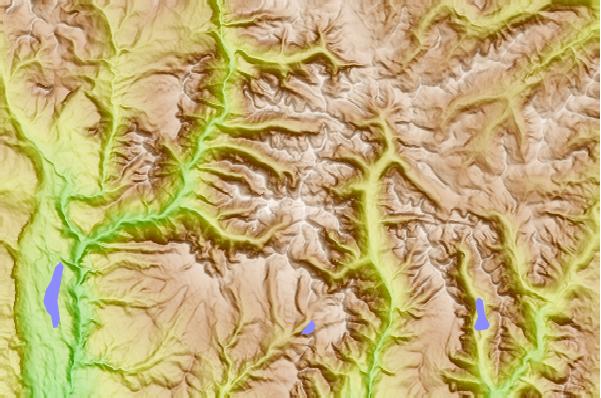
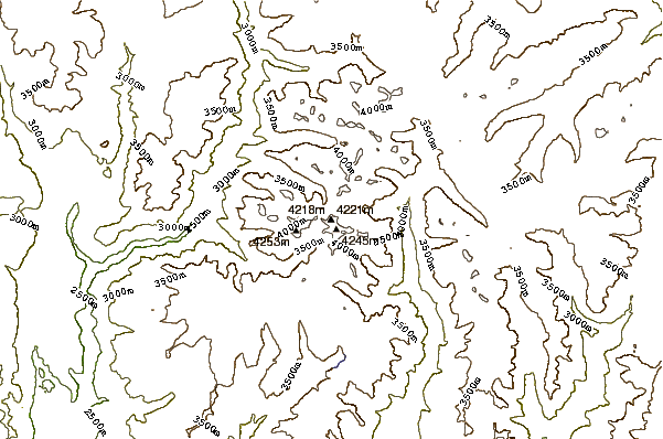
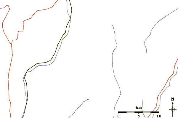
Use this relief map to navigate to mountain peaks in the area of Sunlight Peak.
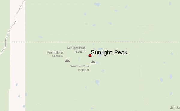
10 other mountain peaks closest to Sunlight Peak:
| 1. | Windom Peak (4292 m) | 0.7 km |
| 2. | Mount Eolus (4293 m) | 2.3 km |
| 3. | Turret Peak (Colorado) (4217 m) | 4.0 km |
| 4. | Pigeon Peak (4258 m) | 4.5 km |
| 5. | Vestal Peak (4226 m) | 7.0 km |
| 6. | Twilight Peak (4010 m) | 12.3 km |
| 7. | Rio Grande Pyramid (4213 m) | 18.8 km |
| 8. | Little Giant Peak (4089 m) | 18.8 km |
| 9. | King Solomon Mtn (4030 m) | 20.1 km |
| 10. | Vermilion Peak (4235 m) | 28.1 km |
 Like us
 Follow us
