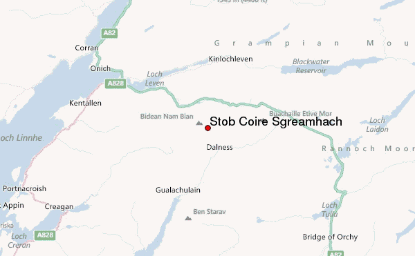
– Lat/Long: 56.64° N 5.01° W
 Stob Coire Sgreamhach – Climbing, Hiking & Mountaineering information
Stob Coire Sgreamhach – Climbing, Hiking & Mountaineering information
Stob Coire Sgreamhach mountain guide
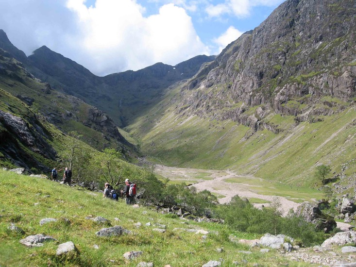
- Elevation: 1072 m
- Difficulty:
- Best months to climb:
- Convenient center:
Stob Coire Sgreamhach Climbing NotesBe the first to submit your climbing note! Please submit any useful information about climbing Stob Coire Sgreamhach that may be useful to other climbers. Consider things such as access and accommodation at the base of Stob Coire Sgreamhach, as well as the logistics of climbing to the summit. |
| Select a
mountain summit from the menu |
||
|
Select a Mountain Summit
|
||

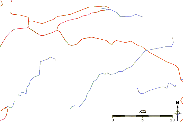
Use this relief map to navigate to mountain peaks in the area of Stob Coire Sgreamhach.
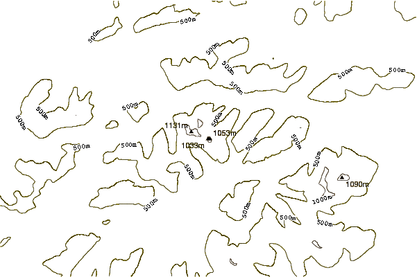
10 other mountain peaks closest to Stob Coire Sgreamhach:
| 1. | Bidean Nam Bian (1150 m) | 1.2 km |
| 2. | Buachaille Etive Beag (958 m) | 2.6 km |
| 3. | Aonach Eagach (967 m) | 4.9 km |
| 4. | Buachaille Etive Mor (1020 m) | 4.9 km |
| 5. | Pap of Glencoe (742 m) | 6.5 km |
| 6. | Creise (1100 m) | 9.0 km |
| 7. | Beinn a' Bheithir (1024 m) | 10.0 km |
| 8. | Meall a' Bhuiridh (1108 m) | 10.2 km |
| 9. | Stob Ghabhar (1090 m) | 11.2 km |
| 10. | Ben Starav (1078 m) | 11.3 km |

 Like us
 Follow us
