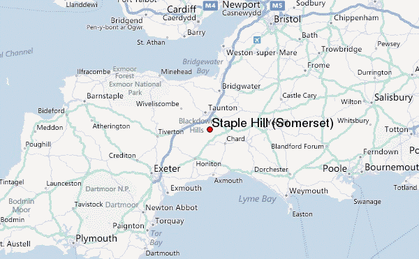
– Lat/Long: 50.94° N 3.08° W
 Staple Hill (Somerset) – Climbing, Hiking & Mountaineering information
Staple Hill (Somerset) – Climbing, Hiking & Mountaineering information
Staple Hill (Somerset) mountain guide
- Elevation: 315 m
- Difficulty:
- Best months to climb:
- Convenient center:
Staple Hill (Somerset) Climbing NotesBe the first to submit your climbing note! Please submit any useful information about climbing Staple Hill (Somerset) that may be useful to other climbers. Consider things such as access and accommodation at the base of Staple Hill (Somerset), as well as the logistics of climbing to the summit. |

| Select a
mountain summit from the menu |
||
|
Select a Mountain Summit
|
||
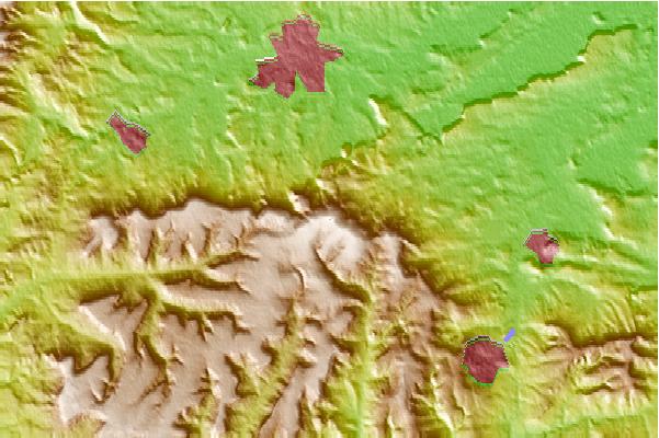
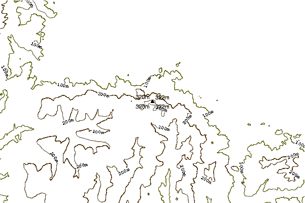
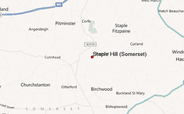
Use this relief map to navigate to mountain peaks in the area of Staple Hill (Somerset).
10 other mountain peaks closest to Staple Hill (Somerset):
| 1. | Wills Neck (384 m) | 20.0 km |
| 2. | Pilsdon Pen (277 m) | 23.3 km |
| 3. | Ham Hill, Somerset (125 m) | 24.0 km |
| 4. | Lewesdon Hill (279 m) | 24.9 km |
| 5. | Rampisham Down (221 m) | 33.9 km |
| 6. | Glastonbury Tor (158 m) | 34.8 km |
| 7. | Brendon Hills (423 m) | 35.5 km |
| 8. | Brean Down (97 m) | 42.7 km |
| 9. | Dunkery Beacon (520 m) | 42.8 km |
| 10. | Pen Hill (305 m) | 45.7 km |
 Like us
 Follow us
