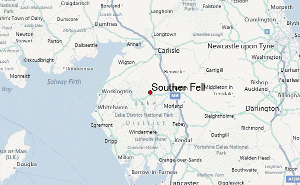
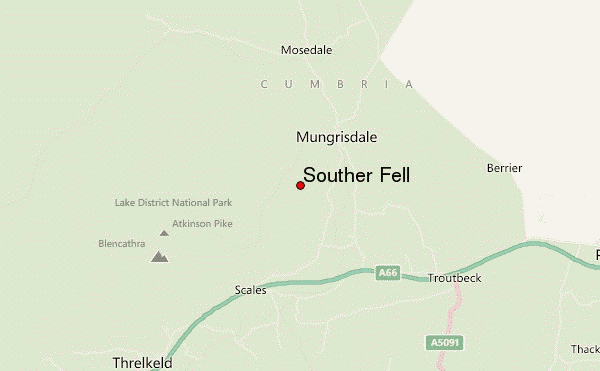
– Lat/Long: 54.65° N 3.00° W
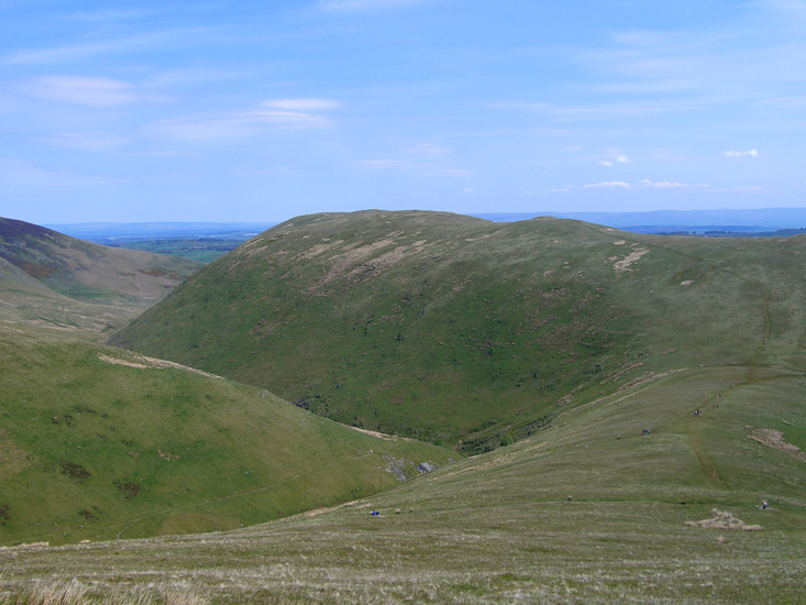
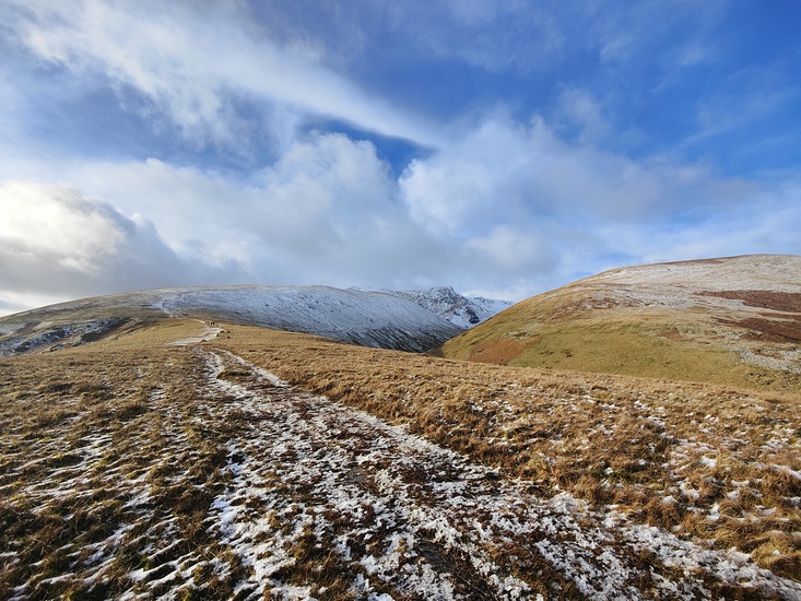
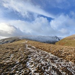
 Souther Fell – Climbing, Hiking & Mountaineering information
Souther Fell – Climbing, Hiking & Mountaineering information
Souther Fell mountain guide
- Elevation: 522 m
- Difficulty:
- Best months to climb:
- Convenient center:
Souther Fell Climbing NotesBe the first to submit your climbing note! Please submit any useful information about climbing Souther Fell that may be useful to other climbers. Consider things such as access and accommodation at the base of Souther Fell, as well as the logistics of climbing to the summit. |

| Select a
mountain summit from the menu |
||
|
Select a Mountain Summit
|
||
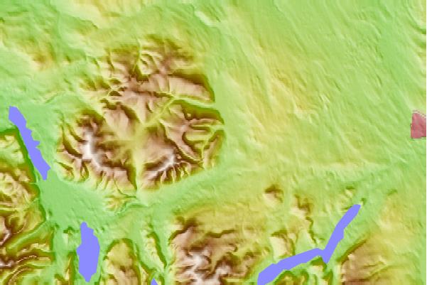
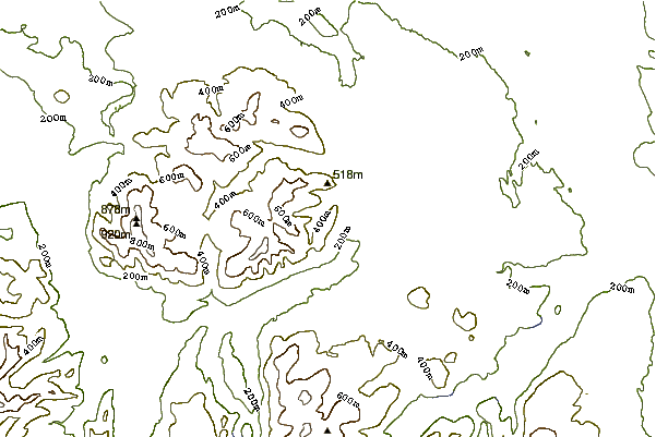
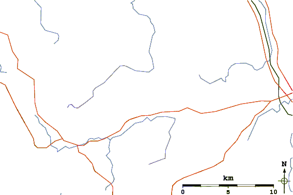
Use this relief map to navigate to mountain peaks in the area of Souther Fell.
10 other mountain peaks closest to Souther Fell:
| 1. | Bannerdale Crags (683 m) | 2.0 km |
| 2. | Bowscale Fell (702 m) | 2.5 km |
| 3. | Blencathra (868 m) | 3.5 km |
| 4. | Mungrisdale Common (633 m) | 4.4 km |
| 5. | Carrock Fell (661 m) | 4.7 km |
| 6. | Great Mell Fell (537 m) | 5.8 km |
| 7. | Great Calva (690 m) | 6.7 km |
| 8. | High Pike (Caldbeck) (658 m) | 6.8 km |
| 9. | Knott (710 m) | 7.0 km |
| 10. | Clough Head (726 m) | 7.1 km |
 Like us
 Follow us
