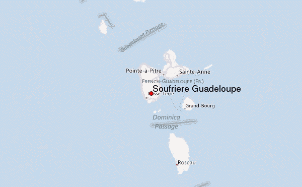
– Lat/Long: 16.05° N 61.67° W
 Soufriere Guadeloupe – Climbing, Hiking & Mountaineering information
Soufriere Guadeloupe – Climbing, Hiking & Mountaineering information
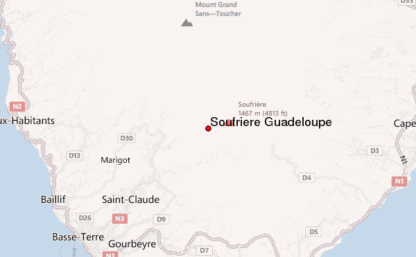
Soufriere Guadeloupe mountain guide
- Elevation: 1467 m
- Difficulty:
- Best months to climb:
- Convenient center:
Soufriere Guadeloupe Climbing NotesBe the first to submit your climbing note! Please submit any useful information about climbing Soufriere Guadeloupe that may be useful to other climbers. Consider things such as access and accommodation at the base of Soufriere Guadeloupe, as well as the logistics of climbing to the summit. |
| Select a
mountain summit from the menu |
||
|
Select a Mountain Summit
|
||
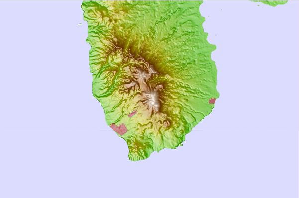
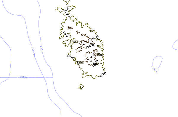
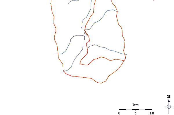
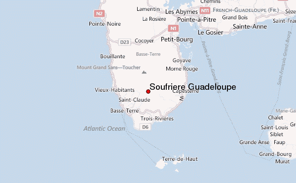
Use this relief map to navigate to mountain peaks in the area of Soufriere Guadeloupe.
10 other mountain peaks closest to Soufriere Guadeloupe:
| 1. | La Grande Soufrière (volcano) (1467 m) | 0.3 km |
| 2. | Chameau, les Saintes (1004 m) | 22.8 km |
| 3. | Mt Diablotin or Morne Diablotins (1447 m) | 66.8 km |
| 4. | Morne Micotrin (1387 m) | 88.0 km |
| 5. | Montserrat (1235 m) | 91.2 km |
| 6. | Chances Peak (915 m) | 91.3 km |
| 7. | Morne Watt (1224 m) | 91.5 km |
| 8. | Soufrière Hills (915 m) | 92.3 km |
| 9. | Morne Anglais (1123 m) | 92.5 km |
| 10. | Mount Obama (formerly Boggy Peak) (395 m) | 111.3 km |
 Like us
 Follow us
