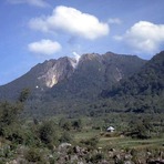
Hiking on Sibayak wouldn't be too difficult if you are fit and used to hike: this would be a piece a cake for you.
There are steps provided so you could actually really enjoy the view around. If you prefer to use jungle track you might be need some ranger help since the trail is not very clear, which is actually intended by local people so you don't have any choice but use their guide.
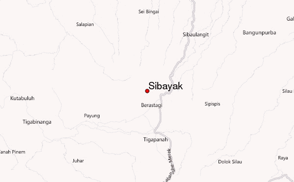
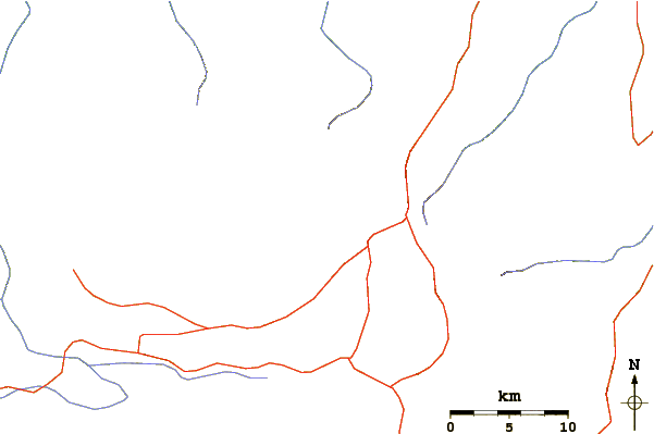
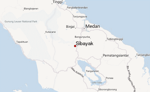
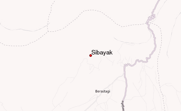
This is my guide if you want to use the paved road option, from Berastagi get mini bus (blue coloured) name "KAMA" - you could see the title of each mini bus right away, the bus fee for now (July 201 ) would be Rp.2000. The last stop will be the starting point to register your name and pay the retribution to hike Rp.4000. From the starting point to the actual spot to start hike and honestly it's more tiring to walk than the actual hike, you probably walk about 2 hours, and the hike less than 50 minutes. Some people prefer to pay extra money so the mini bus drops them to the hiking spot; just tell the driver you want to be dropped on the crossroad ("simpang jarang nguda"). Try to bargain. The lowest I could get from Berastagi was Rp.40000. He will drop you at a crossroad: going up to the mountain, going right is the way to a hot spring. After hiking down if you want to try the hot spring just turned left and walk for another 1.5 hours and you will get to "Semangat Gunung" village, plenty places to choose, enjoy the hotspring there and walked down to get minibus back to Berastagi or walk down until you get into the big road and get any public car from there which definitely going to Berastagi.
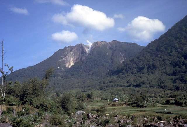
The hiking would be easy, from the dropping spot just go up until the paved road ends. That means you are already at the hiking point. There is no sign at all but you could see a small path on the left side, the path quite clear. It's impossible to get lost from there. The view very beautiful actually so it's really worth it.
When its raining be careful because its very slippery, you need good shoes for it, and other casual hiking gear.
Hope it helps
 Sibayak – Climbing, Hiking & Mountaineering information
 Like us
 Follow us
