– Lat/Long: 50.07° N 115.57° W
 Shark Tooth Mountain (British Columbia) – Climbing, Hiking & Mountaineering information
Shark Tooth Mountain (British Columbia) – Climbing, Hiking & Mountaineering information
Shark Tooth Mountain (British Columbia) mountain guide
- Elevation: 2533 m
- Difficulty:
- Best months to climb:
- Convenient center:
Shark Tooth Mountain (British Columbia) Climbing NotesBe the first to submit your climbing note! Please submit any useful information about climbing Shark Tooth Mountain (British Columbia) that may be useful to other climbers. Consider things such as access and accommodation at the base of Shark Tooth Mountain (British Columbia), as well as the logistics of climbing to the summit. |
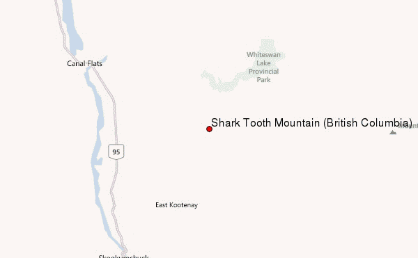
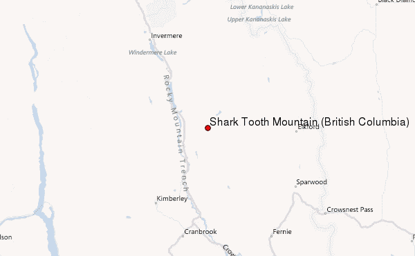
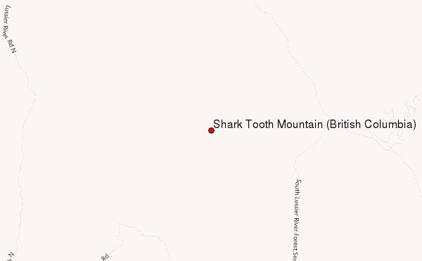
Select Shark Tooth Mountain (British Columbia) Location Map Detail:
| Select a
mountain summit from the menu |
||
|
Select a Mountain Summit
|
||
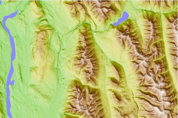
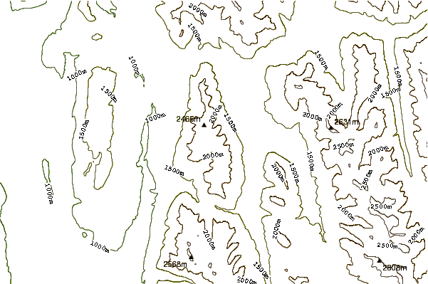
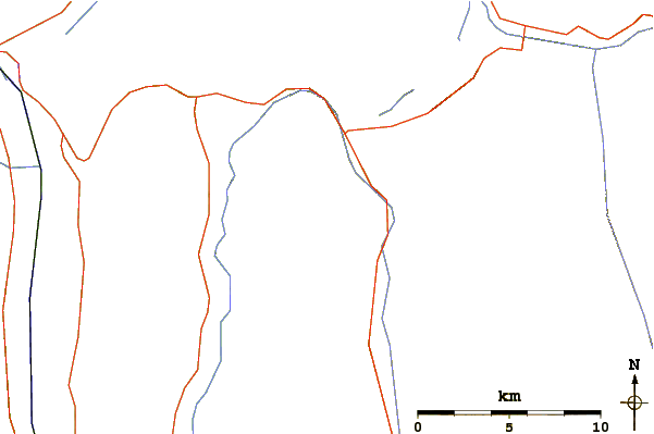
Use this relief map to navigate to mountain peaks in the area of Shark Tooth Mountain (British Columbia).
10 other mountain peaks closest to Shark Tooth Mountain (British Columbia):
| 1. | Mount Nivelle (3256 m) | 57.6 km |
| 2. | Mount Mangin (3065 m) | 58.1 km |
| 3. | Mount Joffre (3449 m) | 58.1 km |
| 4. | Mount Cordonnier (3012 m) | 58.8 km |
| 5. | Mount Pétain (3196 m) | 59.8 km |
| 6. | Mount Gass (2865 m) | 59.8 km |
| 7. | Warrior Mountain (Canada) (2937 m) | 60.6 km |
| 8. | Mount Holcroft (2734 m) | 61.0 km |
| 9. | Mount Lyall (2951 m) | 61.9 km |
| 10. | Mount Cornwell (Canada) (2972 m) | 62.0 km |
 Like us
 Follow us
