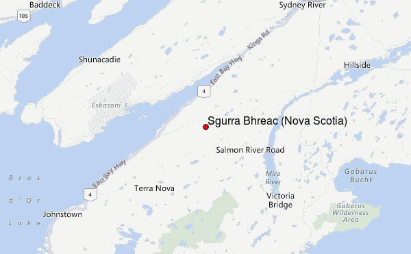
– Lat/Long: 45.93° N 60.43° W
 Sgurra Bhreac (Nova Scotia) – Climbing, Hiking & Mountaineering information
Sgurra Bhreac (Nova Scotia) – Climbing, Hiking & Mountaineering information
Sgurra Bhreac (Nova Scotia) mountain guide
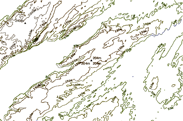
- Elevation: 222 m
- Difficulty: Easy
- Best months to climb: July to November
- Convenient center:
Sgurra Bhreac (Nova Scotia) Climbing NotesBe the first to submit your climbing note! Please submit any useful information about climbing Sgurra Bhreac (Nova Scotia) that may be useful to other climbers. Consider things such as access and accommodation at the base of Sgurra Bhreac (Nova Scotia), as well as the logistics of climbing to the summit. |
| Select a
mountain summit from the menu |
||
|
Select a Mountain Summit
|
||
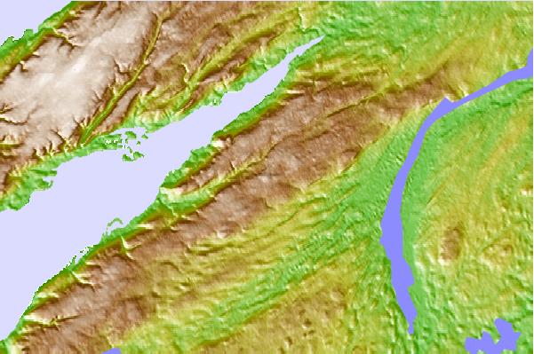
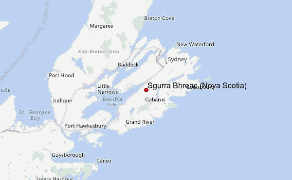
Use this relief map to navigate to mountain peaks in the area of Sgurra Bhreac (Nova Scotia).
10 other mountain peaks closest to Sgurra Bhreac (Nova Scotia):
| 1. | White Hill (Nova Scotia) (532 m) | 86.8 km |
| 2. | Nuttby Mountain (360 m) | 221.0 km |
| 3. | Morne de la Grande Montagne (240 m) | 339.6 km |
| 4. | South Mountain (Nova Scotia) (275 m) | 346.8 km |
| 5. | The Cabox (814 m) | 354.9 km |
| 6. | Mount Musgrave (546 m) | 386.9 km |
| 7. | Pic a Tenerife (545 m) | 433.1 km |
| 8. | Gros Morne (807 m) | 452.3 km |
| 9. | Colonels Mountain (New Brunswick) (600 m) | 478.1 km |
| 10. | Big Bald Mountain (New Brunswick) (672 m) | 479.6 km |
 Like us
 Follow us
