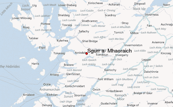
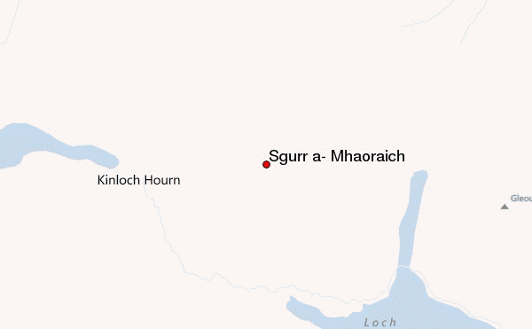
– Lat/Long: 57.11° N 5.33° W
 Sgurr a' Mhaoraich – Climbing, Hiking & Mountaineering information
Sgurr a' Mhaoraich – Climbing, Hiking & Mountaineering information
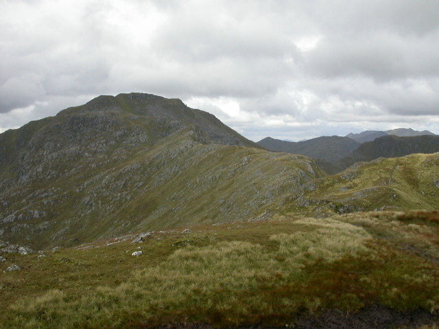
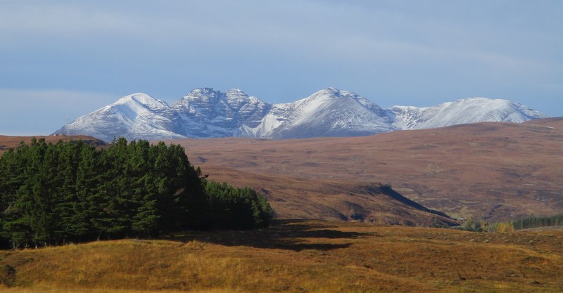
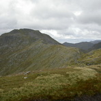
Sgurr a' Mhaoraich mountain guide
- Elevation: 1027 m
- Difficulty:
- Best months to climb:
- Convenient center:
Sgurr a' Mhaoraich Climbing NotesBe the first to submit your climbing note! Please submit any useful information about climbing Sgurr a' Mhaoraich that may be useful to other climbers. Consider things such as access and accommodation at the base of Sgurr a' Mhaoraich, as well as the logistics of climbing to the summit. |

| Select a
mountain summit from the menu |
||
|
Select a Mountain Summit
|
||
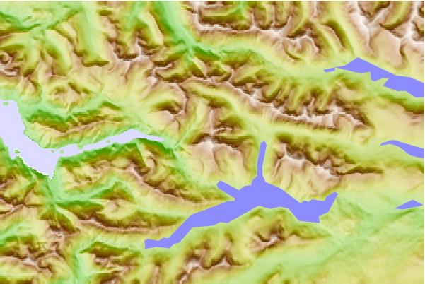
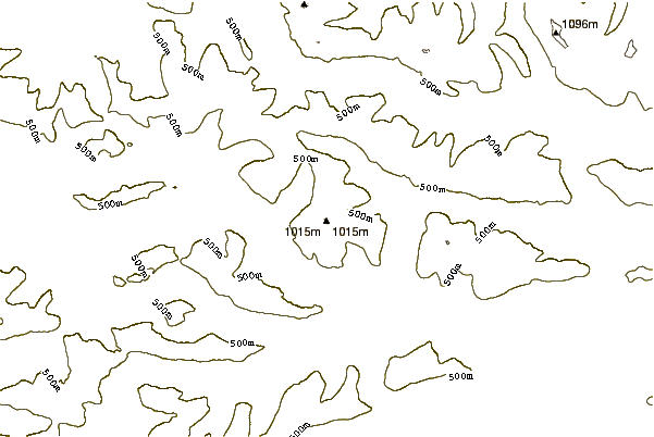
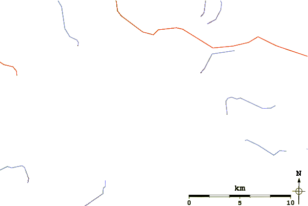
Use this relief map to navigate to mountain peaks in the area of Sgurr a' Mhaoraich.
10 other mountain peaks closest to Sgurr a' Mhaoraich:
| 1. | Gleouraich (1035 m) | 5.7 km |
| 2. | Sgurr na Sgine (946 m) | 6.1 km |
| 3. | Sgurr nan Eugallt (898 m) | 6.1 km |
| 4. | The Saddle (1010 m) | 8.1 km |
| 5. | Gairich (919 m) | 8.2 km |
| 6. | Sgùrr na Ciste Duibhe (1027 m) | 8.2 km |
| 7. | Sàileag (999 m) | 8.8 km |
| 8. | Sgurr a' Bhealaich Dheirg (1036 m) | 9.1 km |
| 9. | Sgùrr na Càrnach (1002 m) | 9.4 km |
| 10. | Aonach Meadhoin (1001 m) | 9.7 km |
 Like us
 Follow us
