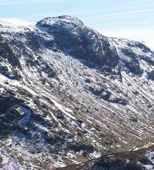
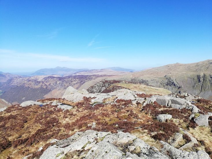
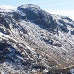
Sergeant's Crag mountain guide
- Elevation: 571 m
- Difficulty:
- Best months to climb:
- Convenient center:
Sergeant's Crag Climbing Notes
Truefreedomseekers from UNITED KINGDOM writes:
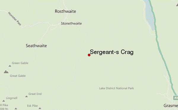
You can park at Stonethwaite for the walk up to Sergeant's Crag. The option that is most popular is to walk up to Eagle Crag and then over to this Wainwright in a round route in the Lake District.
The walk will take you a good few hours, especially in poor weather conditions as the ground is soft and prone to becoming boggy. This will slow your walking down and make the paths harder to locate, so make sure that you have a map with you too.
Check out our blog on the walk if it is of use to helping you create a walking route for yourself. We walked Eagle Crag and Sergeant's Crag together in the same day, so you can find out how to here.
https://truefreedomseekers.com/eagle-crag-and-sergeants-crag-walk/
Truefreedomseekers
@true_freedomseekers
2022-06-12 |
Click here to submit your own climbing note for Sergeant's Crag
|
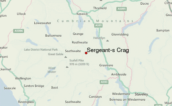
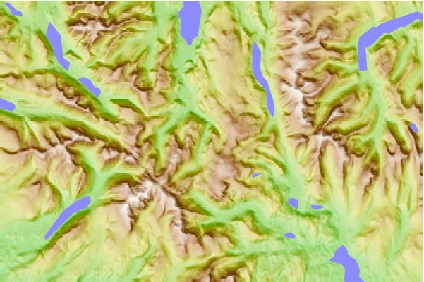
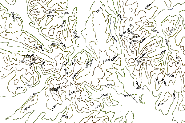
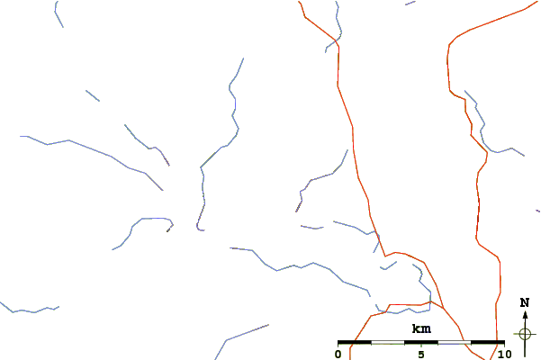
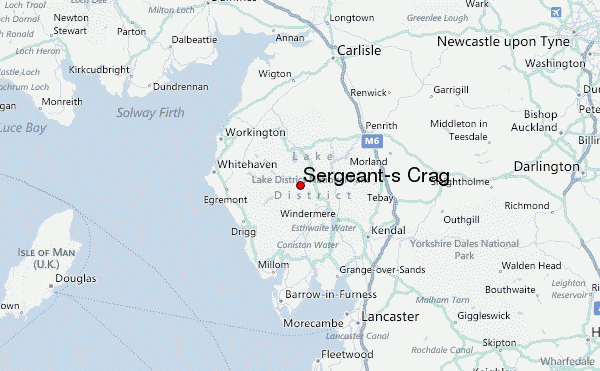
Select Sergeant's Crag Location Map Detail:
Use this relief map to navigate to mountain peaks in the area of Sergeant's Crag.
10 other mountain peaks closest to Sergeant's Crag:
 Sergeant's Crag – Climbing, Hiking & Mountaineering information
 Like us
 Follow us
