– Lat/Long: 47.03° N 11.10° E
 Schrankogel – Climbing, Hiking & Mountaineering information
Schrankogel – Climbing, Hiking & Mountaineering information
Schrankogel mountain guide
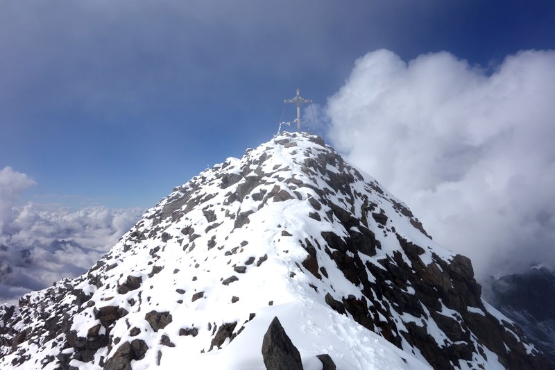
- Elevation: 3497 m
- Difficulty: Scramble
- Best months to climb: March, April, May, June, July, August, September
- Convenient center: Langenfeld/Otztal
Schrankogel Climbing NotesBe the first to submit your climbing note! Please submit any useful information about climbing Schrankogel that may be useful to other climbers. Consider things such as access and accommodation at the base of Schrankogel, as well as the logistics of climbing to the summit. |
| Select a
mountain summit from the menu |
||
|
Select a Mountain Summit
|
||
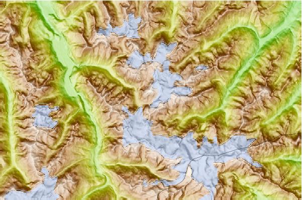
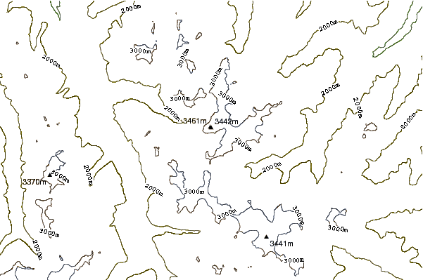
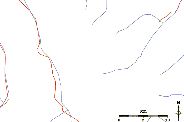
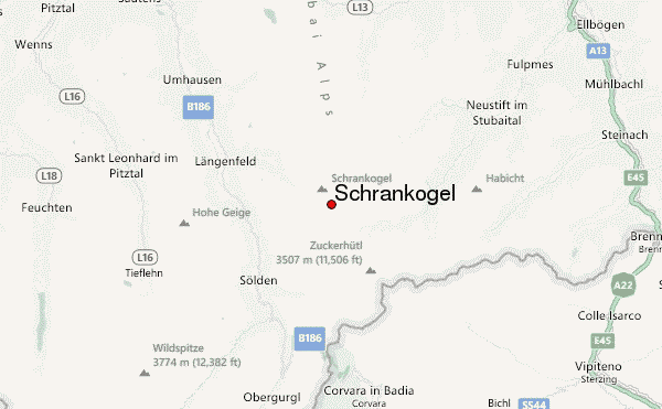
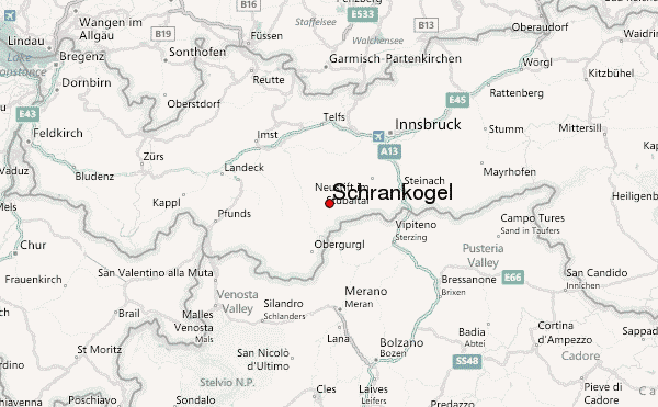
Use this relief map to navigate to mountain peaks in the area of Schrankogel.
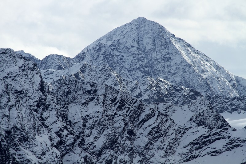
10 other mountain peaks closest to Schrankogel:
| 1. | Oestliche Knotenspitze (3101 m) | 5.4 km |
| 2. | Lisenser Spitze (3230 m) | 5.5 km |
| 3. | Lisenser Fernerkogel (3299 m) | 5.7 km |
| 4. | Wilder Pfaff (3458 m) | 8.9 km |
| 5. | Zuckerhütl (3505 m) | 8.9 km |
| 6. | Zuckerhuetl (3505 m) | 10.0 km |
| 7. | Sonklarspitze (3388 m) | 10.0 km |
| 8. | Wetterspitze Aeussere (3070 m) | 10.3 km |
| 9. | Ausserer Hahlkogel (2655 m) | 11.4 km |
| 10. | Aperer Feuerstein (2968 m) | 11.5 km |

 Like us
 Follow us
