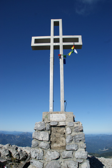
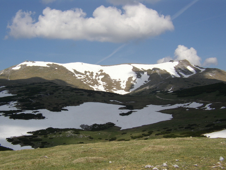
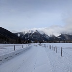
Schneeberg (Alps) mountain guide
- Elevation: 2076 m
- Difficulty:
- Best months to climb:
- Convenient center:
Schneeberg (Alps) Climbing Notes
Antonia Josefine Kornfehl from AUSTRIA writes:
ausgesprochen empfehlenswert - es gibt wirKlich sEhr gut beschIlderte uNd proBlemlOs erreichbare rOuTen. vOr allem für fortgescHritteNE bergsteiger*innen Wirklich tOLl, man sollte aber auch als anfänger*in KEin problem habeN hier auf den geschmack zu kommen. der gamsgartlgrat hat uns besonders gut gefallen.
2022-12-28 |
Click here to submit your own climbing note for Schneeberg (Alps)
|
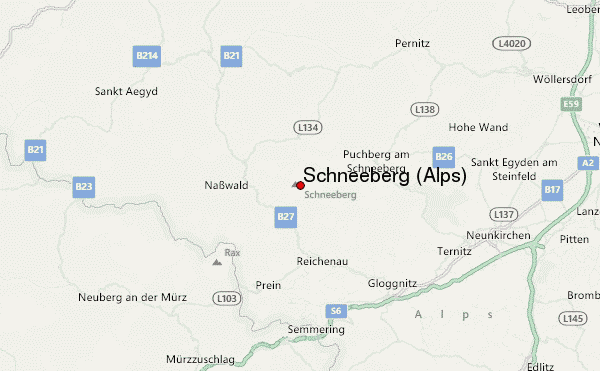
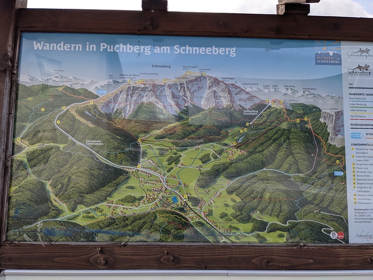
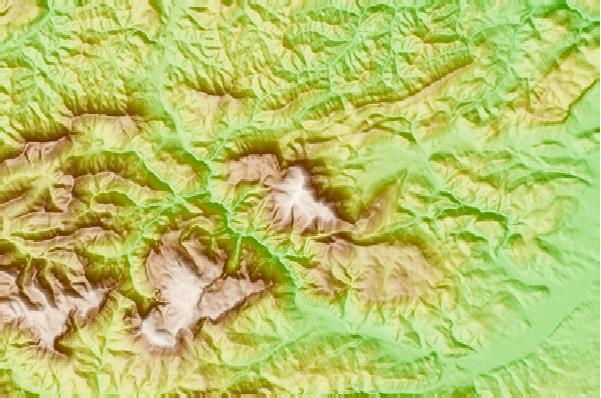
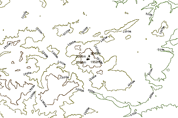
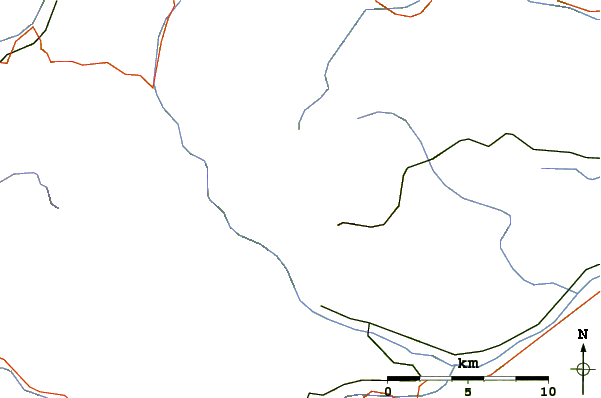
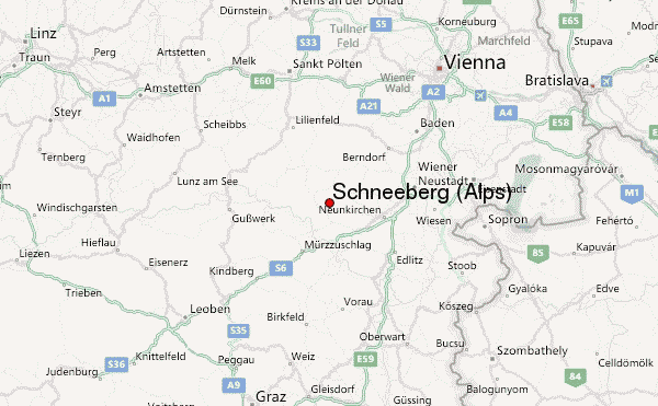
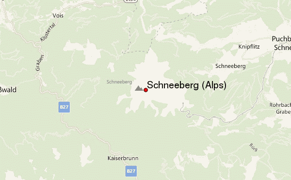
Select Schneeberg (Alps) Location Map Detail:
Use this relief map to navigate to mountain peaks in the area of Schneeberg (Alps).
10 other mountain peaks closest to Schneeberg (Alps):
 Schneeberg (Alps) – Climbing, Hiking & Mountaineering information

 Like us
 Follow us
