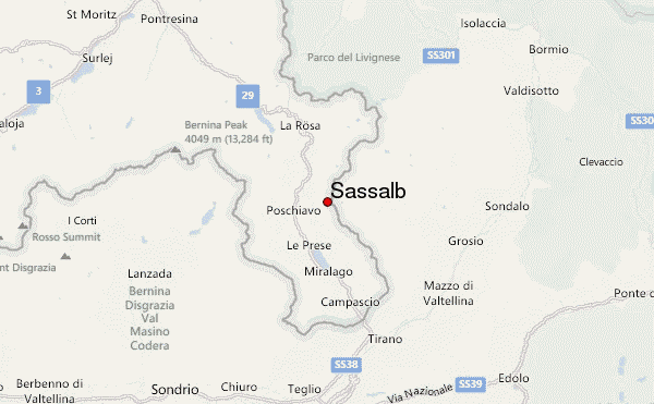
– Lat/Long: 46.33° N 10.10° E
 Sassalb – Climbing, Hiking & Mountaineering information
Sassalb – Climbing, Hiking & Mountaineering information
Sassalb mountain guide
- Elevation: 2862 m
- Difficulty:
- Best months to climb:
- Convenient center:
Sassalb Climbing NotesBe the first to submit your climbing note! Please submit any useful information about climbing Sassalb that may be useful to other climbers. Consider things such as access and accommodation at the base of Sassalb, as well as the logistics of climbing to the summit. |
| Select a
mountain summit from the menu |
||
|
Select a Mountain Summit
|
||
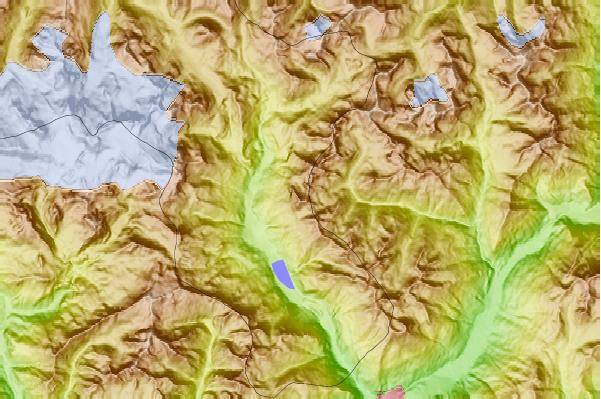
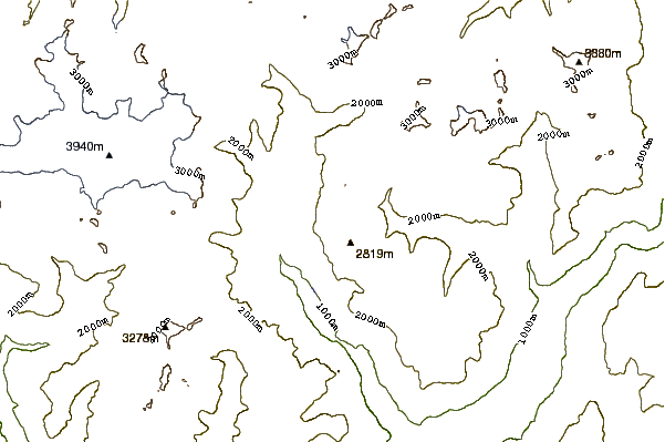
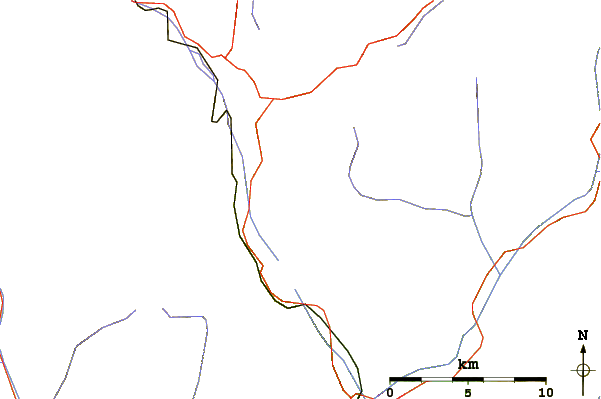
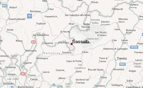
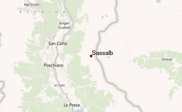
Use this relief map to navigate to mountain peaks in the area of Sassalb.
10 other mountain peaks closest to Sassalb:
| 1. | Piz Sena (3075 m) | 2.3 km |
| 2. | Piz dal Teo (3049 m) | 4.5 km |
| 3. | Piz Trevisina (2823 m) | 4.7 km |
| 4. | Scima da Saoseo (3264 m) | 7.4 km |
| 5. | Corno Campascio (2808 m) | 8.0 km |
| 6. | Piz Varuna (3453 m) | 8.4 km |
| 7. | Cima Viola (3374 m) | 9.3 km |
| 8. | Corn da Camp (3232 m) | 9.4 km |
| 9. | Piz Cancian (3103 m) | 9.5 km |
| 10. | Piz Paradisin (3302 m) | 10.3 km |
 Like us
 Follow us
