– Lat/Long: 0.08° N 100.20° E
 Sarik-Gajah – Climbing, Hiking & Mountaineering information
Sarik-Gajah – Climbing, Hiking & Mountaineering information
Sarik-Gajah mountain guide
- Elevation: 600 m
- Difficulty:
- Best months to climb:
- Convenient center: Lijiang
Sarik-Gajah Climbing NotesBe the first to submit your climbing note! Please submit any useful information about climbing Sarik-Gajah that may be useful to other climbers. Consider things such as access and accommodation at the base of Sarik-Gajah, as well as the logistics of climbing to the summit. |
| Select a
mountain summit from the menu |
||
|
Select a Mountain Summit
|
||
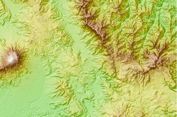
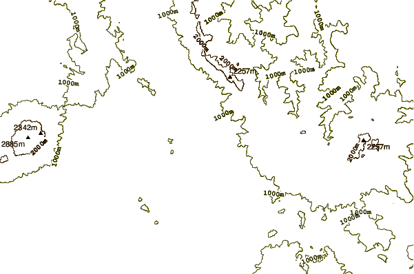
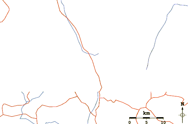
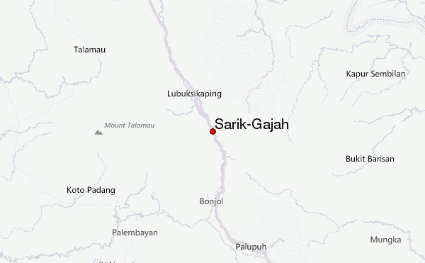
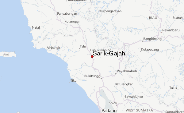
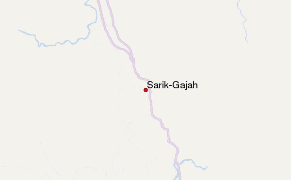
Use this relief map to navigate to mountain peaks in the area of Sarik-Gajah.
10 other mountain peaks closest to Sarik-Gajah:
| 1. | Talakmau (2912 m) | 24.3 km |
| 2. | Mount Singgalang (2877 m) | 54.3 km |
| 3. | Mount Tandikat (2438 m) | 58.6 km |
| 4. | Tandikat (2438 m) | 58.6 km |
| 5. | Marapi (2891 m) | 59.4 km |
| 6. | Mount Marapi (2891 m) | 59.4 km |
| 7. | Mount Sago (2271 m) | 69.3 km |
| 8. | Sorikmarapi (2145 m) | 100.0 km |
| 9. | Talang (2896 m) | 129.3 km |
| 10. | Mount Talang (2597 m) | 129.3 km |
 Like us
 Follow us
