– Lat/Long: 44.08° N 74.13° W
 Santanoni Peak – Climbing, Hiking & Mountaineering information
Santanoni Peak – Climbing, Hiking & Mountaineering information
Santanoni Peak mountain guide
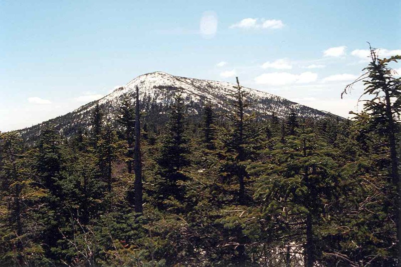
- Elevation: 1404 m
- Difficulty:
- Best months to climb:
- Convenient center:
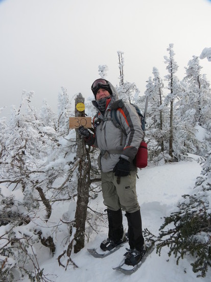
Santanoni Peak Climbing NotesBe the first to submit your climbing note! Please submit any useful information about climbing Santanoni Peak that may be useful to other climbers. Consider things such as access and accommodation at the base of Santanoni Peak, as well as the logistics of climbing to the summit. |
| Select a
mountain summit from the menu |
||
|
Select a Mountain Summit
|
||
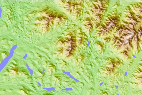
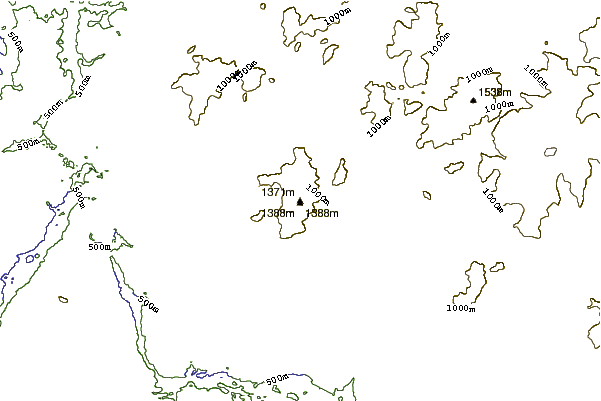
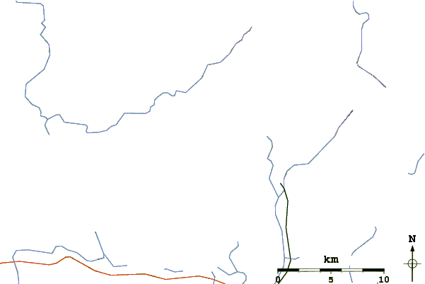
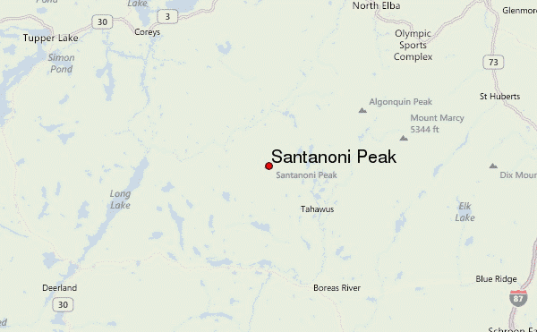
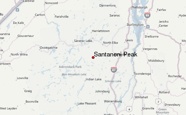
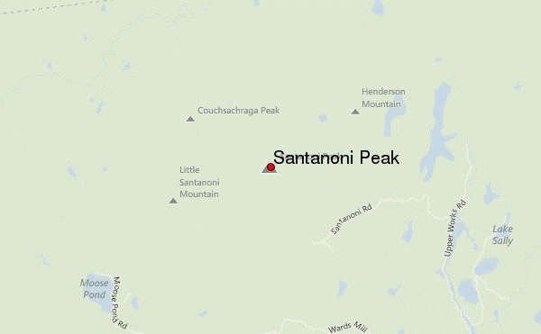
Use this relief map to navigate to mountain peaks in the area of Santanoni Peak.
10 other mountain peaks closest to Santanoni Peak:
| 1. | Panther Peak (New York) (1354 m) | 1.7 km |
| 2. | Couchsachraga Peak (1156 m) | 2.7 km |
| 3. | MacNaughton Mountain (1214 m) | 8.3 km |
| 4. | Mount Adams (New York) (1073 m) | 8.4 km |
| 5. | Seymour Mountain (Franklin County, New York) (1247 m) | 9.0 km |
| 6. | Mount Emmons (New York) (1231 m) | 9.5 km |
| 7. | Wallface Mountain (1136 m) | 9.7 km |
| 8. | Seward Mountain (New York) (1325 m) | 10.2 km |
| 9. | Donaldson Mountain (1252 m) | 10.2 km |
| 10. | Mount Marshall (New York) (1335 m) | 10.7 km |
 Like us
 Follow us
