– Lat/Long: 34.24° N 118.10° W

UsSan Gabriel Peak – Climbing, Hiking & Mountaineering information

Placeholder

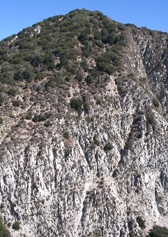
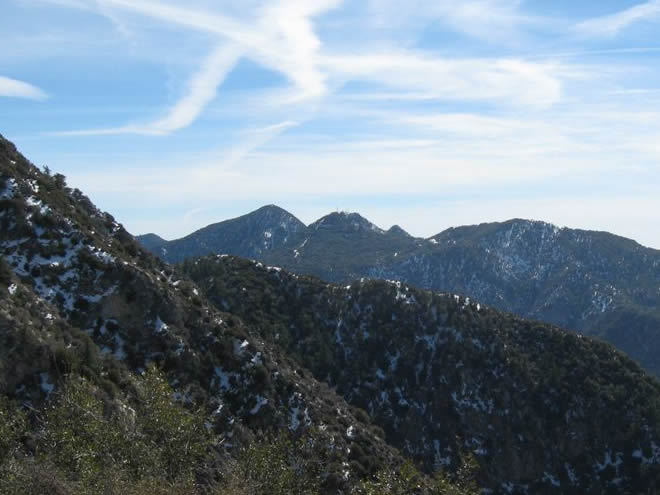
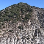
San Gabriel Peak mountain guide

Southeast Face, San Gabriel Peak photo

San Gabriel Peak

Photo credit: Michael Deak

San Gabriel Peak Winter Hike photo

San Gabriel Peak

Photo credit: Aaron C Colin

San Gabriel Peak photo

San Gabriel Peak

Photo credit: Aaron C Colin

  • Elevation: 1878 m
  • Difficulty:
  • Best months to climb:
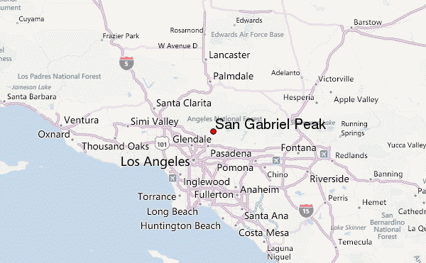
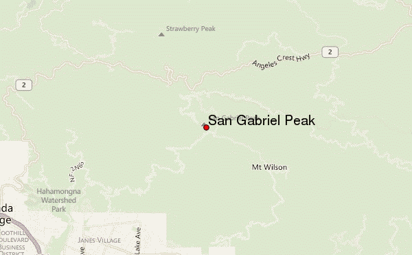
  • Convenient center:

San Gabriel Peak Climbing Notes

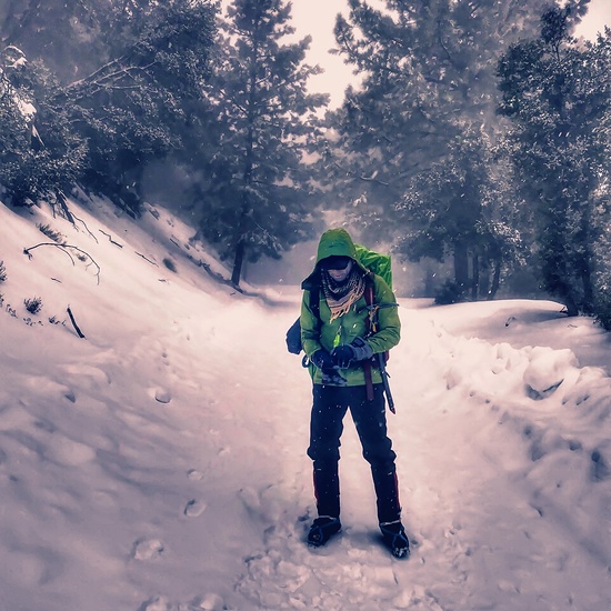
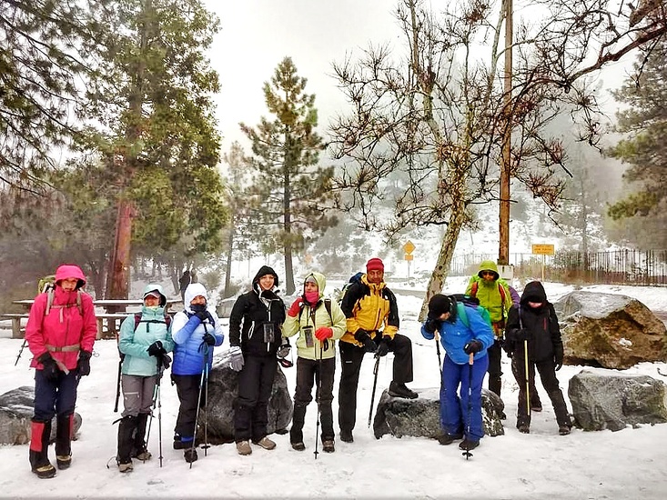
Leigh from UNITED STATES writes:

Hiked on Sunday morning (12/18/16), with last rains on the Thursday morning prior - there was still some residual ice on the ground, though by the time we descended around 11.30am, much of the ice had melted and become mud. The squishy mud made the trail a little slippery - trekking poles would help or otherwise go slow. Microspikes not needed.

2016-12-21

Click here to submit your own climbing note for San Gabriel Peak

San Gabriel Peak Location Map

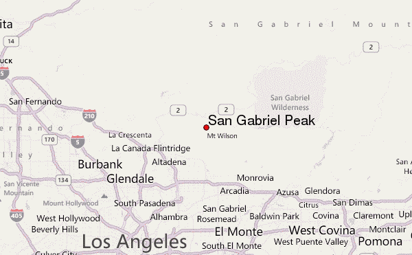
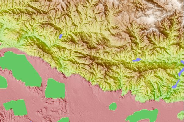
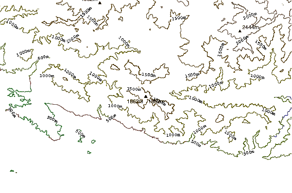
Select San Gabriel Peak Location Map Detail:


Latest Gallery Images for San Gabriel Peak

visit the
gallery
or click to view
Ontario Peak, 8696 ft., from Eaton SaddleMt. Markham and San Gabriel Peak From 100" Dome Catwalk, Mt. Wilson San Gabriel Peak, 6162 ft. Barbara and Mike

Upload your photo of San Gabriel Peak

Select a mountain summit from the menu
Select a Mountain Summit
Surf breaks located close to San Gabriel Peak Mountain peaks around San Gabriel Peak Roads and rivers around San Gabriel Peak

Use this relief map to navigate to mountain peaks in the area of San Gabriel Peak.

10 other mountain peaks closest to San Gabriel Peak:

1. Mount Disappointment (California) (1817 m) 0.8 km
2. Mount Lowe (California) (1708 m) 1.4 km
3. Mount Wilson (California) (1741 m) 3.9 km
4. Echo Mountain (977 m) 4.1 km
5. Strawberry Peak (1879 m) 5.0 km
6. Vetter Mountain (1801 m) 8.7 km
7. Mount Lukens, California (1544 m) 13.3 km
8. Waterman Mountain (2450 m) 18.1 km
9. Mount Lee (521 m) 23.9 km
10. Cahuenga Peak (555 m) 24.1 km