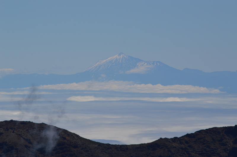
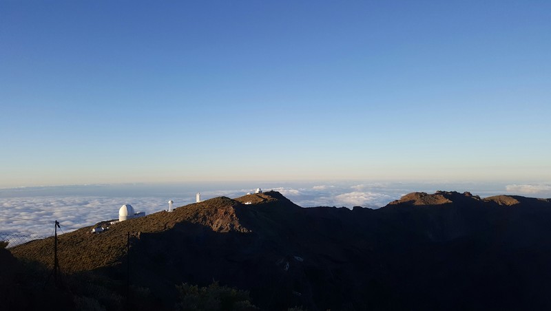
Roque de los Muchachos mountain guide
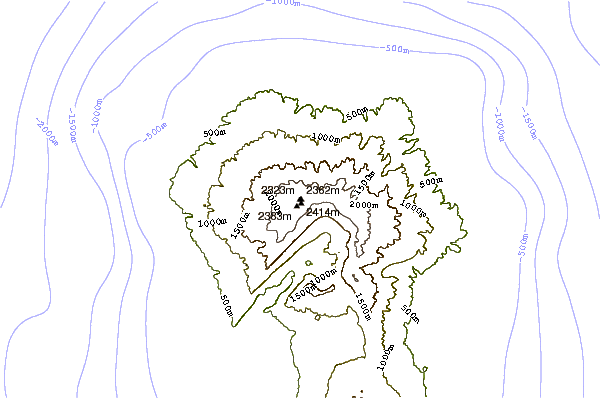
- Elevation: 2423 m
- Difficulty:
- Best months to climb:
- Convenient center:
Roque de los Muchachos Climbing Notes
Helmut Kulmer from SPAIN writes:
Hello,
I plan from the 11th to the 13.08.18 a wandering from the Cumbre about lot Muchachos to Tazacorte. Is something to be argued against this wandering (weather partly) or to follow particularly? Many thanks for your help. Kind regards, Helmut Kulmer
2018-08-09 |
Click here to submit your own climbing note for Roque de los Muchachos
|
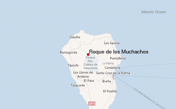
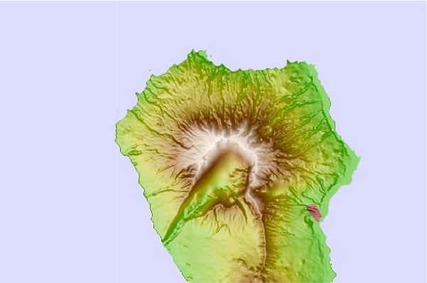
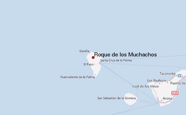
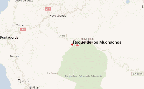
Select Roque de los Muchachos Location Map Detail:
Use this relief map to navigate to mountain peaks in the area of Roque de los Muchachos.
10 other mountain peaks closest to Roque de los Muchachos:
 Roque de los Muchachos – Climbing, Hiking & Mountaineering information


 Like us
 Follow us
