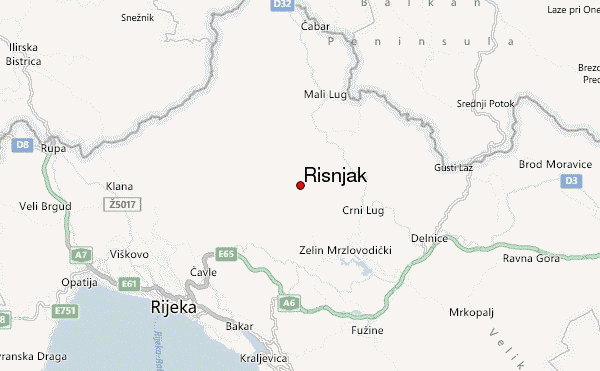
– Lat/Long: 45.44° N 14.62° E
 Risnjak – Climbing, Hiking & Mountaineering information
Risnjak – Climbing, Hiking & Mountaineering information
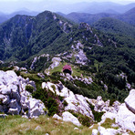
Risnjak mountain guide
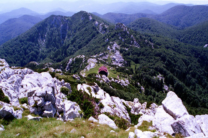
- Elevation: 1528 m
- Difficulty: Walk up
- Best months to climb: January, February, April, May, June, July, August, September, October, November, December
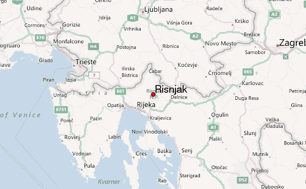
- Convenient center: Rijeka or Delnice
Risnjak Climbing NotesBe the first to submit your climbing note! Please submit any useful information about climbing Risnjak that may be useful to other climbers. Consider things such as access and accommodation at the base of Risnjak, as well as the logistics of climbing to the summit. |
| Select a
mountain summit from the menu |
||
|
Select a Mountain Summit
|
||
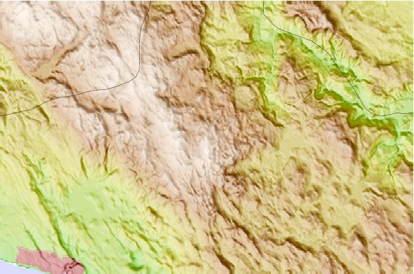
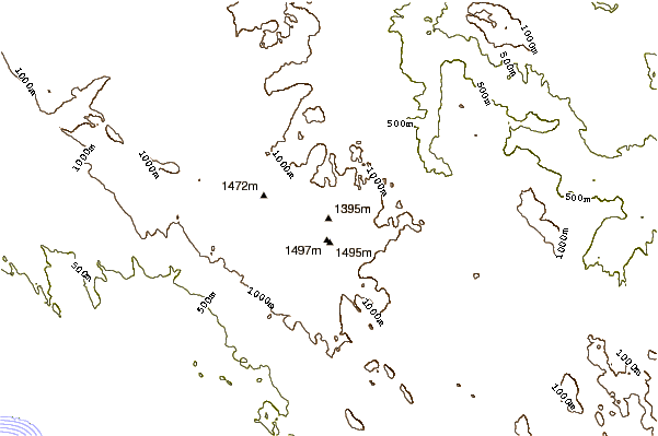
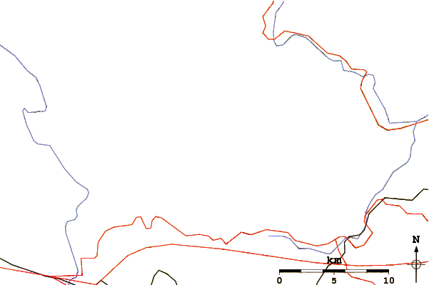
Use this relief map to navigate to mountain peaks in the area of Risnjak.
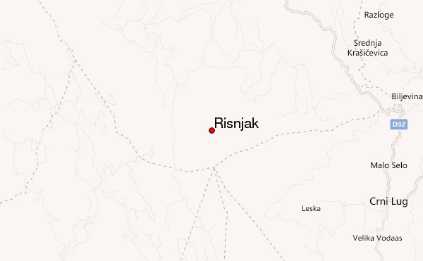
10 other mountain peaks closest to Risnjak:
| 1. | Snežnik (1796 m) | 21.0 km |
| 2. | Slivnica (hill) (1114 m) | 42.0 km |
| 3. | Mount Mirna (1043 m) | 42.5 km |
| 4. | Klek mountain, Croatia (1181 m) | 46.0 km |
| 5. | Nanos, Slovenia (1313 m) | 58.5 km |
| 6. | Šmarna Gora (676 m) | 77.3 km |
| 7. | Kum (mountain) (1220 m) | 79.8 km |
| 8. | Velika Kapela (1526 m) | 92.8 km |
| 9. | Hum (hill), Laško (583 m) | 93.2 km |
| 10. | Petrova Gora (512 m) | 95.5 km |
 Like us
 Follow us
