Qornet As Sawda mountain guide
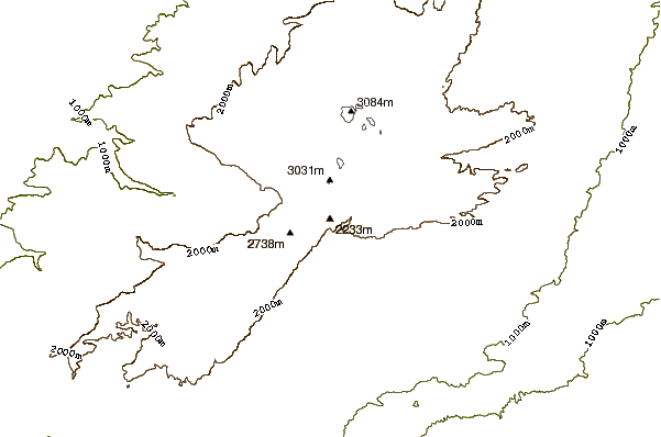
- Elevation: 3083 m
- Difficulty: Walk up
- Best months to climb: April, May, June, July, August, September, October, November
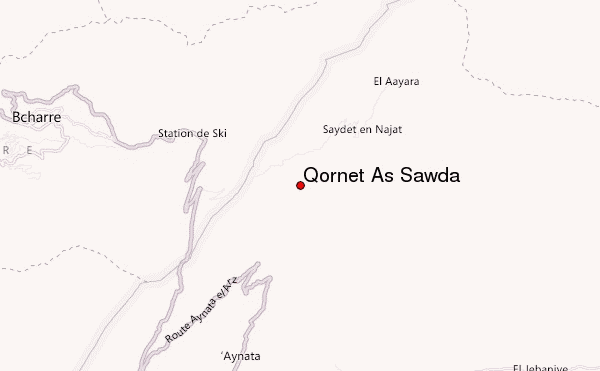
- Convenient center: Bcharre
Qornet As Sawda Climbing Notes
JASSIM from KUWAIT writes:
Hello,
please can you help with some important information regarding if I want to climb Qornet As Sawda in 24th of November 2017 . will it be possible? What is the situation there at this time of year?
Looking forward for your reply.
Regards,
Jassim
2017-10-30 |
Click here to submit your own climbing note for Qornet As Sawda
|
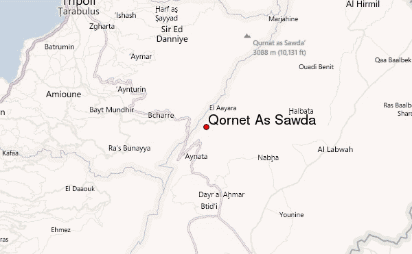
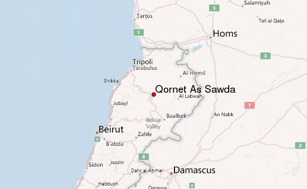
Select Qornet As Sawda Location Map Detail:
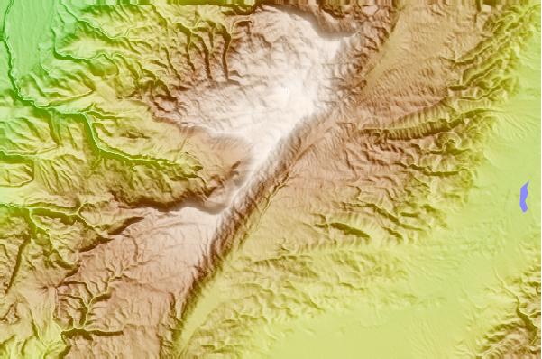
Use this relief map to navigate to mountain peaks in the area of Qornet As Sawda.
10 other mountain peaks closest to Qornet As Sawda:
 Qornet As Sawda – Climbing, Hiking & Mountaineering information
 Like us
 Follow us
