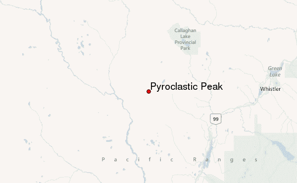
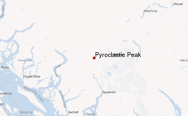
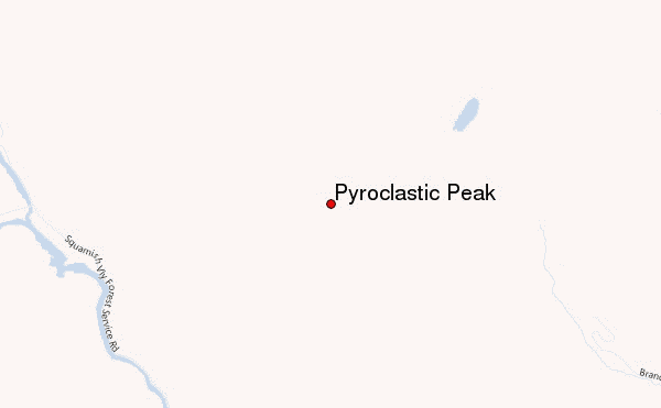
– Lat/Long: 50.11° N 123.29° W
 Pyroclastic Peak – Climbing, Hiking & Mountaineering information
Pyroclastic Peak – Climbing, Hiking & Mountaineering information
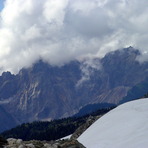
Pyroclastic Peak mountain guide
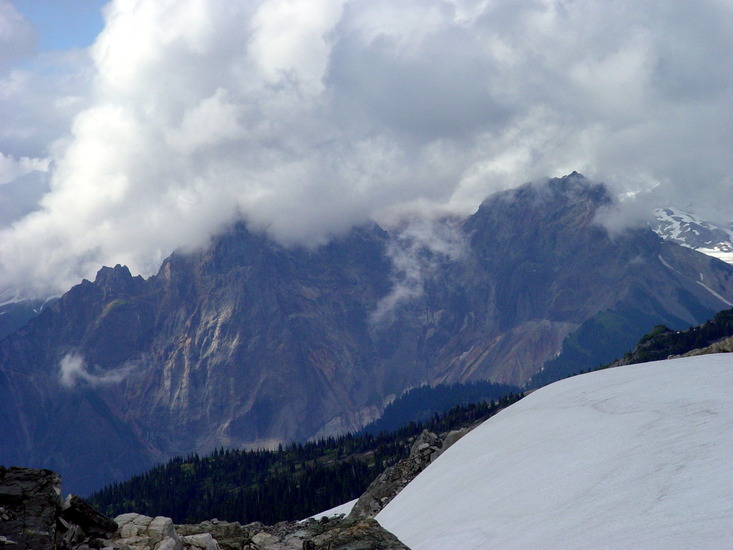
- Elevation: 2349 m
- Difficulty:
- Best months to climb:
- Convenient center:
Pyroclastic Peak Climbing NotesBe the first to submit your climbing note! Please submit any useful information about climbing Pyroclastic Peak that may be useful to other climbers. Consider things such as access and accommodation at the base of Pyroclastic Peak, as well as the logistics of climbing to the summit. |
| Select a
mountain summit from the menu |
||
|
Select a Mountain Summit
|
||
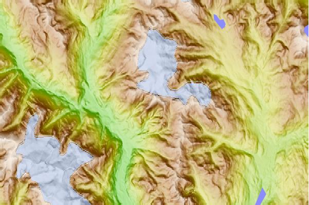
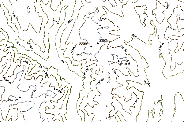
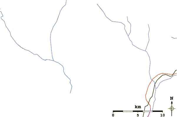
Use this relief map to navigate to mountain peaks in the area of Pyroclastic Peak.
10 other mountain peaks closest to Pyroclastic Peak:
| 1. | Mount Cayley (2377 m) | 0.7 km |
| 2. | Pali Dome (2250 m) | 3.5 km |
| 3. | Powder Mountain (British Columbia) (2347 m) | 3.8 km |
| 4. | Mount Fee (2162 m) | 4.8 km |
| 5. | Brandywine Mountain (2213 m) | 5.1 km |
| 6. | Cypress Peak (2308 m) | 9.1 km |
| 7. | Mount Brew (Cheakamus River) (1757 m) | 10.8 km |
| 8. | Tricouni Peak (2122 m) | 11.7 km |
| 9. | Ring Mountain (British Columbia) (2192 m) | 11.9 km |
| 10. | Mount Callaghan (2409 m) | 12.8 km |
 Like us
 Follow us
