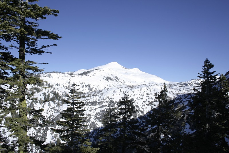
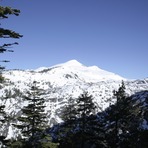
Pyramid Peak (California) mountain guide
- Elevation: 3043 m
- Difficulty:
- Best months to climb:
- Convenient center:
Pyramid Peak (California) Climbing Notes
Ben Falck from UNITED STATES writes:
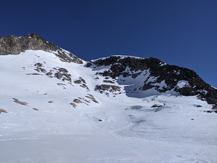
11/22-23/2011. Our group of four planned to climb Pyramid Peak. We started at the Lyons Creek trail head. Wrights Road, which leads to the trail head from Highway 50 is paved but has grades which require an all wheel drive or 4 wheel drive vehicle when snow is on the road. The trail head has level and ample room to park at. The first half mile of the trail is fairly level and the rest of the trail leading to Sylvia Lake has a consistent grade from 6700 ft. to 8060 ft. We hiked when the trail had 12 to 18 inches of snow. The trail was barely visible most of the time. Look for the ends of cut trees that have been cleared as trail markers. Due to getting off course several times, it took us five hours to reach just below Sylvia Lake; carrying 30 lb. packs, 4.7 miles. The temperature was between the upper 20s to low 30s, very light wind and clear sky. Since the going was slow the first day, we decided not to try for the summit the second day and returned to the trail head in 2.5 hours.
2011-11-25 |
Click here to submit your own climbing note for Pyramid Peak (California)
|

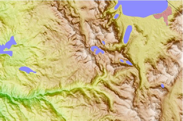
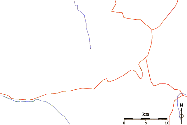
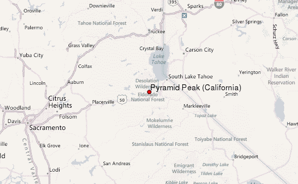
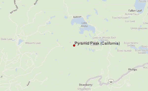
Select Pyramid Peak (California) Location Map Detail:
Use this relief map to navigate to mountain peaks in the area of Pyramid Peak (California).
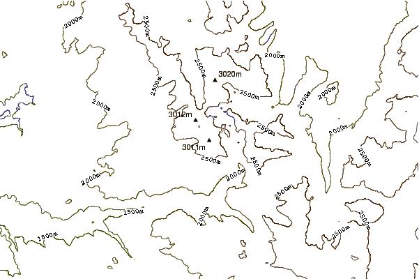
10 other mountain peaks closest to Pyramid Peak (California):
 Pyramid Peak (California) – Climbing, Hiking & Mountaineering information
 Like us
 Follow us
