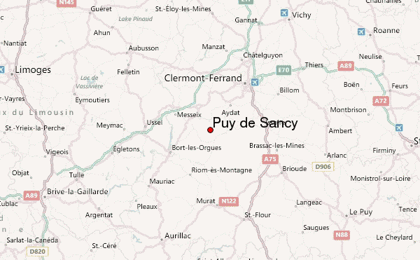
– Lat/Long: 45.53° N 2.81° E
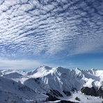
 Puy de Sancy – Climbing, Hiking & Mountaineering information
Puy de Sancy – Climbing, Hiking & Mountaineering information
Puy de Sancy mountain guide
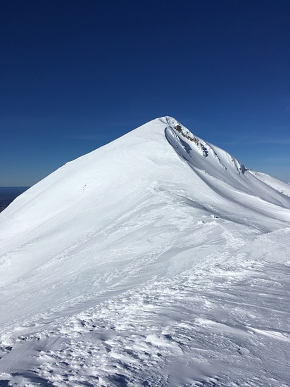
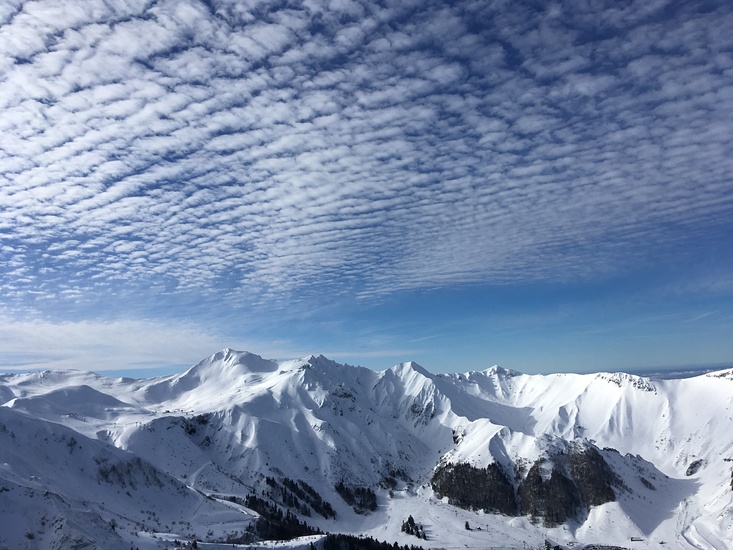
- Elevation: 1886 m
- Difficulty:
- Best months to climb:
- Convenient center:
Puy de Sancy Climbing Notes
Click here to submit your own climbing note for Puy de Sancy |

| Select a
mountain summit from the menu |
||
|
Select a Mountain Summit
|
||
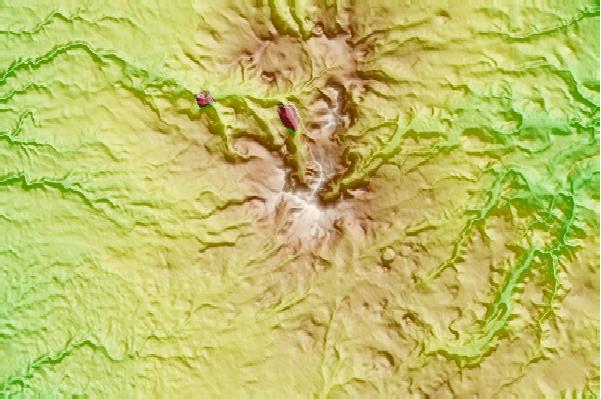
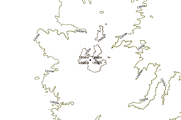
Use this relief map to navigate to mountain peaks in the area of Puy de Sancy.
10 other mountain peaks closest to Puy de Sancy:
| 1. | Mont Dore or Chaine Des Puys (1885 m) | 5.9 km |
| 2. | Puy de Dôme (1464 m) | 29.5 km |
| 3. | Puy Violent (1592 m) | 47.7 km |
| 4. | Puy Mary (1783 m) | 47.9 km |
| 5. | Chavaroche (1739 m) | 49.9 km |
| 6. | Plomb du Cantal (1855 m) | 52.4 km |
| 7. | Mont Mouchet (1497 m) | 75.4 km |
| 8. | Mont Gargan (731 m) | 91.4 km |
| 9. | Mont Mezenc (1754 m) | 128.1 km |
| 10. | Mont Gerbier de Jonc (1551 m) | 134.0 km |
 Like us
 Follow us
