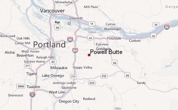
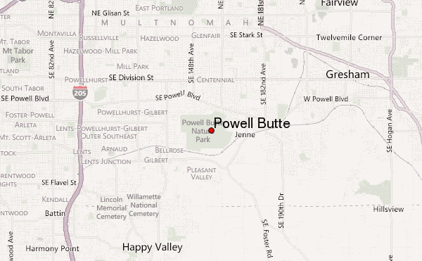
– Lat/Long: 45.49° N 122.50° W
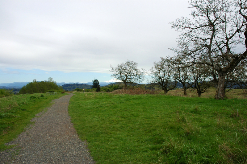
 Powell Butte – Climbing, Hiking & Mountaineering information
Powell Butte – Climbing, Hiking & Mountaineering information
Powell Butte mountain guide
- Elevation: 187 m
- Difficulty:
- Best months to climb:
- Convenient center:
Powell Butte Climbing NotesBe the first to submit your climbing note! Please submit any useful information about climbing Powell Butte that may be useful to other climbers. Consider things such as access and accommodation at the base of Powell Butte, as well as the logistics of climbing to the summit. |
| Select a
mountain summit from the menu |
||
|
Select a Mountain Summit
|
||
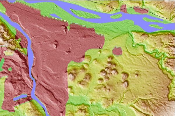
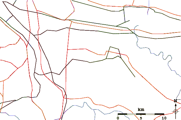
Use this relief map to navigate to mountain peaks in the area of Powell Butte.
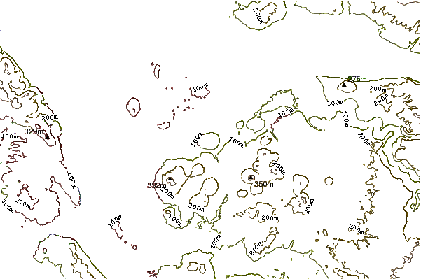
10 other mountain peaks closest to Powell Butte:
| 1. | Mount Scott (Clackamas County, Oregon) (333 m) | 5.2 km |
| 2. | Mount Sylvania (298 m) | 18.0 km |
| 3. | Boring Lava Field (1238 m) | 20.8 km |
| 4. | Cooper Mountain (Oregon) (236 m) | 29.2 km |
| 5. | Elkhorn Mountain (Washington) (678 m) | 29.8 km |
| 6. | Larch Mountain (Clark County, Washington) (1061 m) | 30.2 km |
| 7. | Larch Mountain (Multnomah County, Oregon) (1238 m) | 32.7 km |
| 8. | Battle Ground Lake State Park (229 m) | 35.4 km |
| 9. | Silver Star Mountain (Skamania County, Washington) (1330 m) | 35.5 km |
| 10. | Bald Peak (496 m) | 44.4 km |
 Like us
 Follow us
