Picacho mountain guide
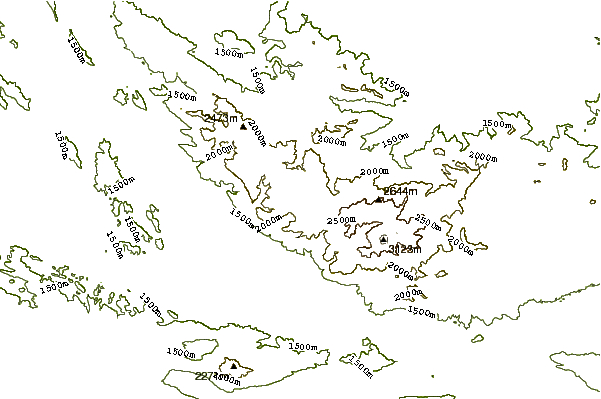
- Elevation: 3120 m
- Difficulty: Walk up
- Best months to climb: January, February, November, December
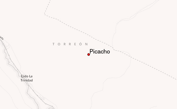
- Convenient center: Torreon
Picacho Climbing Notes
Adrian Gonzalez from MEXICO writes:
Great mountain to climb route is confusing so I recommend always go with a GPS with route preloaded you can download the route here in wikiloc or gaia gps
If you want a hike mate send me an email adrianglzj@gmail.com
2019-12-24 |
Click here to submit your own climbing note for Picacho
|
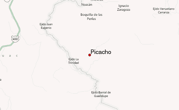
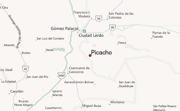
Select Picacho Location Map Detail:
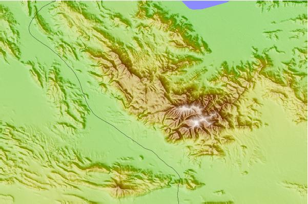
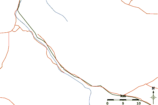
Use this relief map to navigate to mountain peaks in the area of Picacho.
10 other mountain peaks closest to Picacho:
 Picacho – Climbing, Hiking & Mountaineering information
 Like us
 Follow us
