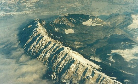
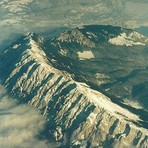
Piatra Craiului mountain guide
- Elevation: 2244 m
- Difficulty: Scramble
- Best months to climb: May, June, July, August, September, October
- Convenient center: Zarnesti
Piatra Craiului Climbing Notes
Zarnesti Tourist Info Center from ROMANIA writes:
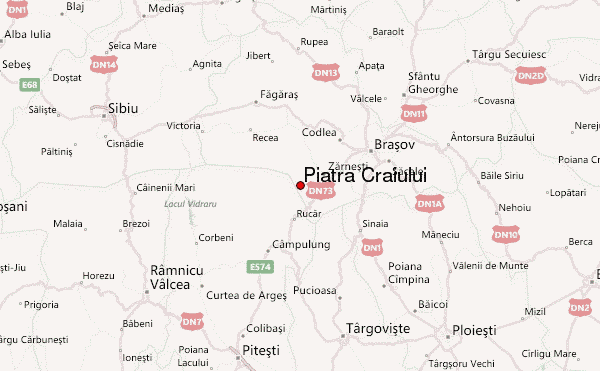
If you are planning for a hike in Piatra Craiului Mountains, Romania, we recommend you to stop first in Zarnesti city.
Take a first stop at the Tourist Information Center ( located in the city center next to the Bus station, 4 km away from the entrance in the Piatra Craiului National Park) for good information about hiking trails in the mountain, buy here a hiking map or try visiting the Piatra Craiului National Park Visiting Center (Also a Tourist Info), on the way to Plaiul Foii area, to learn more about the park.
Zarnesti Tourist Information Center
Address: 12A, Dr.Tiberiu Spârchez Street, Zărnești, Brașov county
Tel: +40368 003376
Facebook: @visitzarnesti
Instagram: visit.zarnesti
TripAdvisor: Zarnesti Visitor Center
Schedule: Mon-Fri: 9-16, Sat: 9-14, Sun: 9-13
2019-02-22 |
Click here to read 2 more climbing notes for Piatra Craiului or submit your own
|
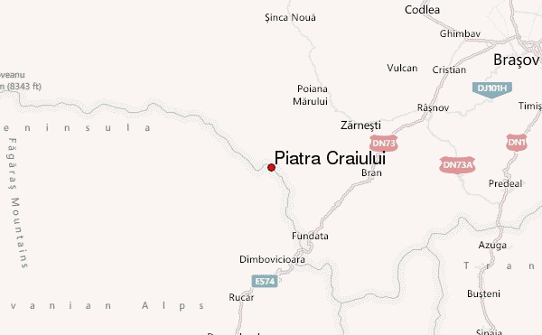
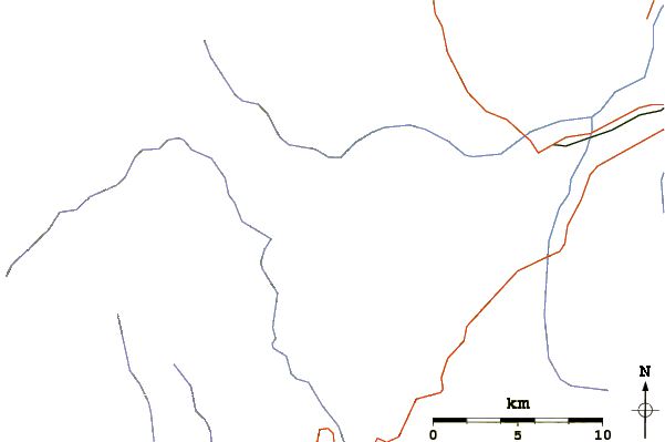
Select Piatra Craiului Location Map Detail:
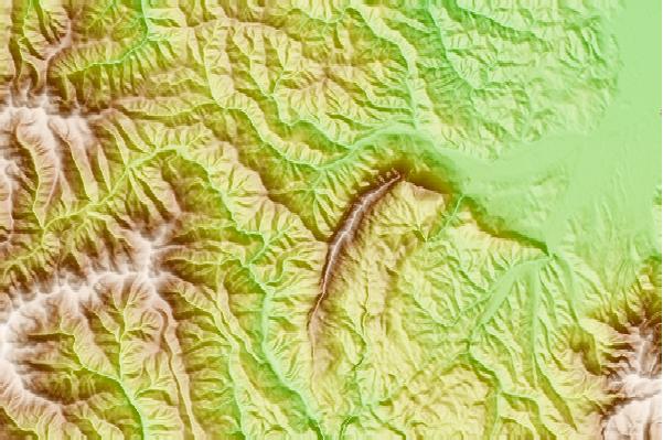
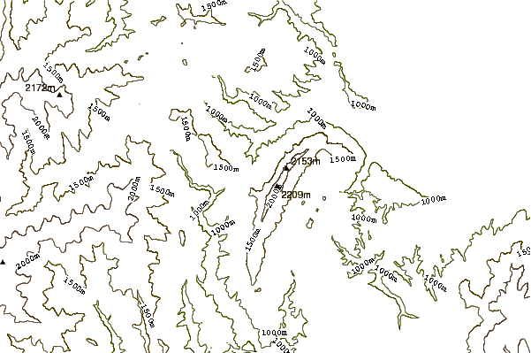
Use this relief map to navigate to mountain peaks in the area of Piatra Craiului.
10 other mountain peaks closest to Piatra Craiului:
 Piatra Craiului – Climbing, Hiking & Mountaineering information
 Like us
 Follow us
