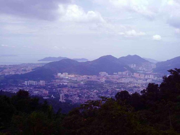
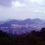
Penang Hill mountain guide
- Elevation: 735 m
- Difficulty:
- Best months to climb:
- Convenient center:
Penang Hill Climbing Notes
Nick LaRussa from UNITED STATES writes:
Great day hike. If you are anywhere in this area you must take this 1 to 1 1/2 hour trek. The difference in heat and humidity is significant from the base but, no jacket required since you are in the tropics.
2014-05-24 |
Click here to submit your own climbing note for Penang Hill
|
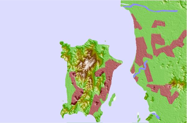
Select Penang Hill Location Map Detail:
Use this relief map to navigate to mountain peaks in the area of Penang Hill.
10 other mountain peaks closest to Penang Hill:
 Penang Hill – Climbing, Hiking & Mountaineering information
 Like us
 Follow us
