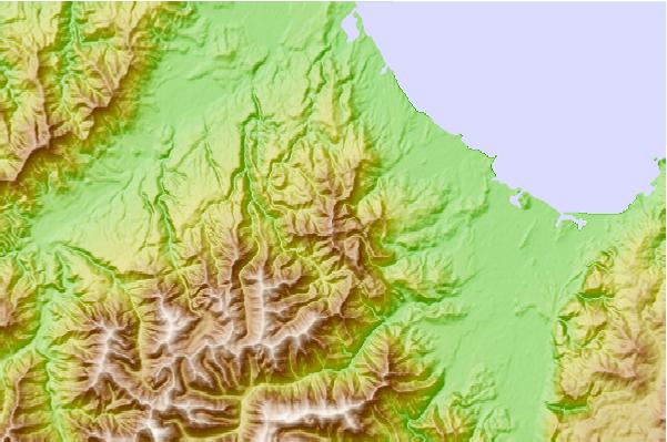
Me and a mate spent a week up here in June 2009, prospecting for caves in the marble band that crosses the eastern slopes. We didn't have much luck and by the end of it I felt a bit stupid lugging around 100m of rope because 10m would have been plenty! Unlike Takaka Hill and Mount Arthur and Mount Owen, Parapara marble does not give up its secrets readily. A huge jumble of boulders on the slopes hints at the reason, as if large earthquakes released landslips that have buried the cave entrances. Steams sink in impenetrable boulder ruckles and generally emerge from similarly inaccessible terrain at about the 300m contour.
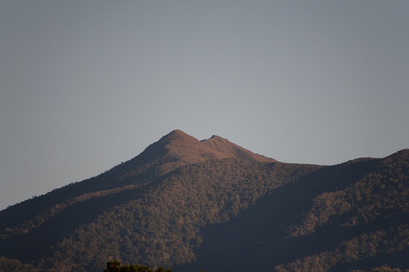
Even though it is only 1250m, up above the tree-line feels fully alpine up here in mid-winter. We had a week of temperatures as low as -5C at night and just plus 1 or 2 by day, accompanied by a howling SW wind. This was in marked contrast to the relatively mild and calm weather down in Golden Bay. There is a small hut south of the summit, but it is locked and for conservation staff only.
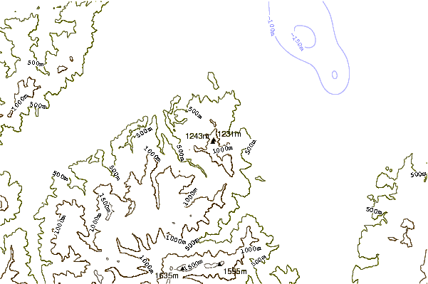
Apart from snow patches and tiny frozen tarns in winter, there isn't much water on the top but there are good springs at about the 1000m contours on both the east and west slopes. The west spring is closest but it is quite a battle to get up and down the slopes through the dense vegetation. Day-trippers won't go anywhere near these, so be sure to carry enough water, especially in summer.
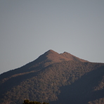
The summit and ridge itself is a pleasant open tussock country though it is hard to imagine driving sheep up this way and along Walker Ridge as they once did.
Views are spectacular in every direction and Mount Taranaki is easily visible from the summit. It's a tough and very steep climb, along the lines of nearby Mount Stevens, but well worth the effort. If it's not too hot and you have a day-pack, expect to make the summit in about 4-5 hours. It's such steep country that coming down is not much easier than going up.
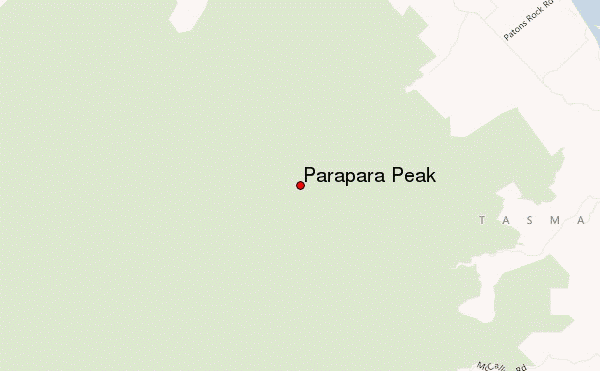
 Parapara Peak – Climbing, Hiking & Mountaineering information

 Like us
 Follow us
