Nyiragongo mountain guide
- Elevation: 3469 m
- Difficulty:
- Best months to climb: January, February, March, July, August, September, October
- Convenient center: Ruhengeri, Rwanda
Nyiragongo Climbing Notes
Alex from GERMANY writes:
Since eastern Congo is a very dangerous area staying overnight in Gisenyi/Rubavu, Rwanda and then crossing the border into Goma in the morning is the best option. Transport from Goma takes abt 40-50 mins (4x4 recommended, visitvirunga.org is very helpful in organising this).
The trail starts at Kibati post, where all visitors need to register by 9:30 a.m., porters are available for hire for the trip and you will also be accompanied by armed guards (provided by the Congolese nature conservation institute).
Depending on the fitness of the participants the walk-up takes abt 5-7 hrs, leading through the different vegetation zones. The last few hundred meters (bare rocks) are very steep and slippery. There are some basic huts (basically just walls, roofs and mattresses) at the crater and temperatures drop to about 4 degrees C so, bring warm clothing and a sleeping bag. You also have to bring food and water (charcoal is available at Kibati post).
The view from the edge of the crater is absolutely magic, the scene looks like Mordor or so. Especially at night it's hypnotizing to watch the glowing lava lake with it's ever-changing surface.
2016-11-18 |
Click here to submit your own climbing note for Nyiragongo
|

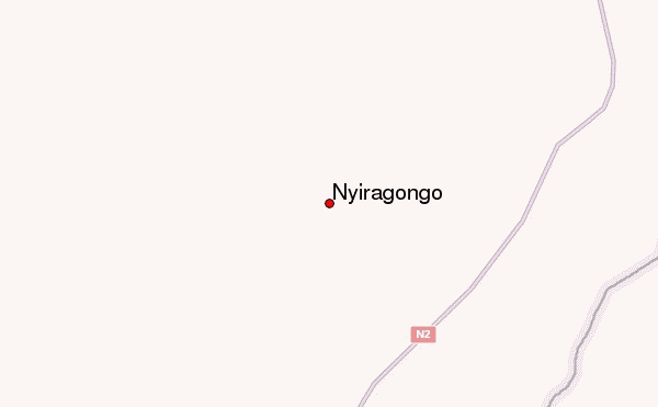
Select Nyiragongo Location Map Detail:
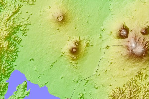
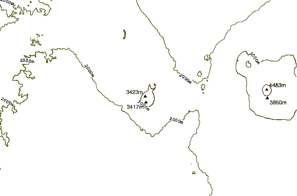
Use this relief map to navigate to mountain peaks in the area of Nyiragongo.
10 other mountain peaks closest to Nyiragongo:
 Nyiragongo – Climbing, Hiking & Mountaineering information
 Like us
 Follow us
