– Lat/Long: 35.97° N 105.62° W
 North Truchas Peak – Climbing, Hiking & Mountaineering information
North Truchas Peak – Climbing, Hiking & Mountaineering information
North Truchas Peak mountain guide
- Elevation: 3970 m
- Difficulty: Walk up
- Best months to climb: June, July, August, September
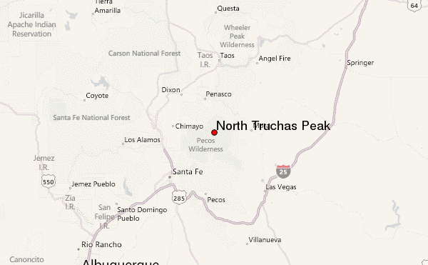
- Convenient center: Cowles, NM
North Truchas Peak Climbing NotesBe the first to submit your climbing note! Please submit any useful information about climbing North Truchas Peak that may be useful to other climbers. Consider things such as access and accommodation at the base of North Truchas Peak, as well as the logistics of climbing to the summit. |
| Select a
mountain summit from the menu |
||
|
Select a Mountain Summit
|
||
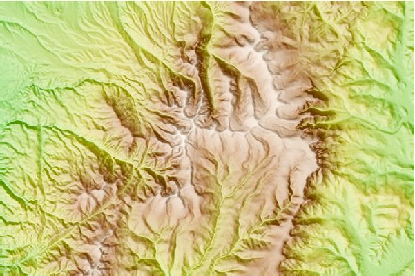
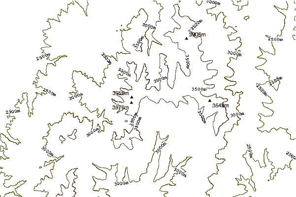
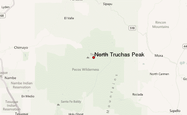
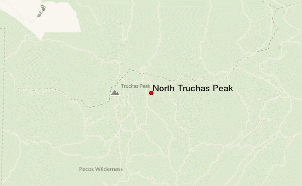
Use this relief map to navigate to mountain peaks in the area of North Truchas Peak.
10 other mountain peaks closest to North Truchas Peak:
| 1. | Truchas Peak (3994 m) | 2.5 km |
| 2. | East Pecos Baldy (3810 m) | 8.0 km |
| 3. | Santa Fe Baldy (3847 m) | 19.6 km |
| 4. | Lake Peak (3781 m) | 23.5 km |
| 5. | Hermit's Peak (3128 m) | 30.8 km |
| 6. | Ocate Peak (2377 m) | 56.6 km |
| 7. | Lake Fork Peak (3926 m) | 65.2 km |
| 8. | Old Mike (3998 m) | 66.9 km |
| 9. | Caballo Mountain (3199 m) | 67.3 km |
| 10. | Wheeler Peak (4011 m) | 68.1 km |
 Like us
 Follow us
