Negro Mountain mountain guide
- Elevation: 979 m
- Difficulty:
- Best months to climb:
- Convenient center:
Negro Mountain Climbing Notes
Jessie from UNITED STATES writes:
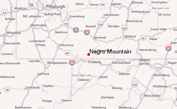
This information is not correct. The location marked on the map is several miles off, as the summit of Negro Mtn. Is actually located in Maryland. The elevation is also wrong
Editor replies. Please suggest correct values. Both the elevation and location we show agrees with the wikipedia entry. According to wikipedia, the mountain is a 20 mile long ridge. We want to show the summit location and elevation.
2015-09-02 |
Click here to submit your own climbing note for Negro Mountain
|
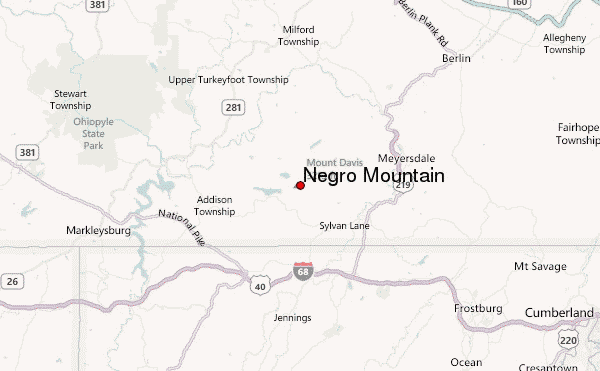
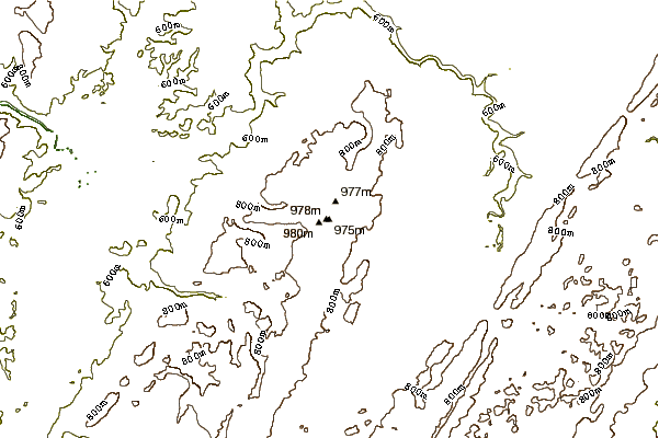
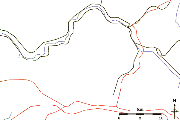
Select Negro Mountain Location Map Detail:
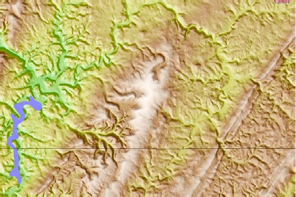
Use this relief map to navigate to mountain peaks in the area of Negro Mountain.
10 other mountain peaks closest to Negro Mountain:
 Negro Mountain – Climbing, Hiking & Mountaineering information


 Like us
 Follow us
