Tokes Laszlo from ROMANIA writes:
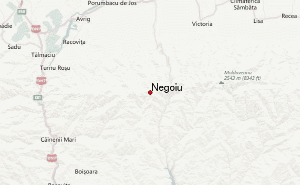
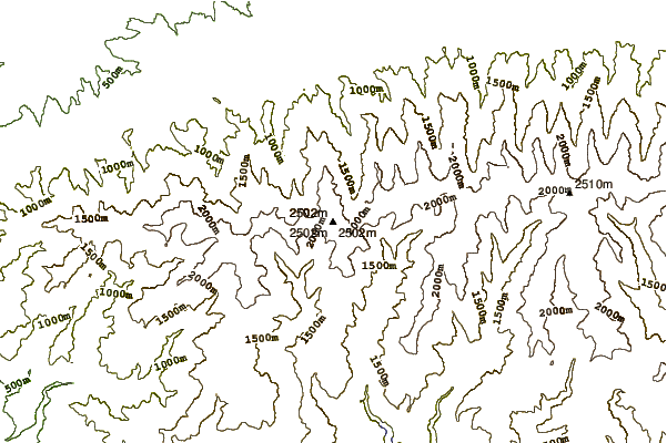
Negoiu is located in the western part of the Fagaras mountains, in the most complex and technically challenging part of the massif. Its weather is the most unpredictable in the whole country, with few sunny days. Winter usually lasts from late October through June, so the easiest months to climb are July and August, when it's quite crowded.
Main routes:
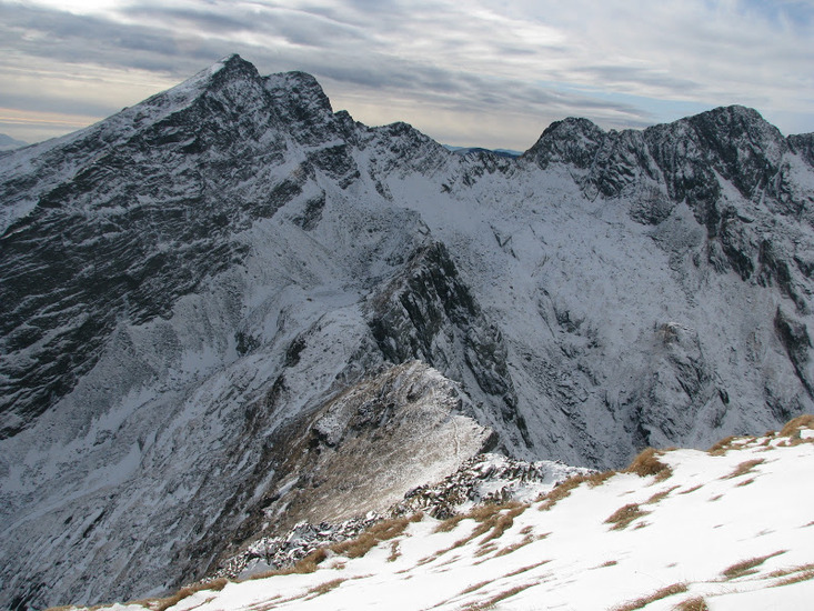
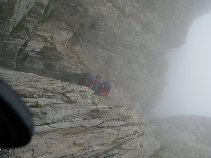
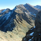
1. Main ridge trail (red stripe sign, PD): if you make the whole crest from West to East, you'll be here on the third day. It's one day trek from Lake Avrig (from the west) and Lake Balea (from the east). From west, you cross the Serbota Peak, then the exposed Custura Saratii ridge (some fixed cables help safety), arriving in Cleopatra Saddle. There is an alternative route which avoids Custura Saratii: yellow stripe down from Serbota Peak (old and harder to follow), then red triangle from the valley up to the saddle. The summit ascent begins from the Cleopatra Saddle, becoming steep on the last section. Here you scramble up using the plenty of rocks which offer good grip. After summiting, you can follow the red stripe sign down through the Strunga Dracului (Devil's Pass), a 100-m descent in an almost vertical horn, where chains are fixed for safety. Non rock-climbers will make a good use of them. As of 2012, this route is now officially closed due to the hazard of rockfall and the route is redirected through the Strunga Doamnei (less technical and safer). Either way, you descend to the Caltun Lake, where you can camp. total height gain/loss from Avrig to Caltun: +1000/-900m. duration: 7-9 hours. This trail can be done in the winter with proper equipment, avoiding the avalanche-prone valleys (like Lake Avrig). Bringing your rope is highly recommended for Custura Saratii, which is treacherous when full of snow.
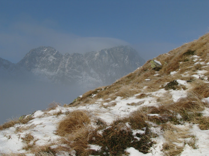
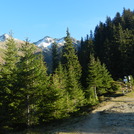
2. trail from the Negoiu chalet (blue triangle): you reach the chalet on the forest road from Porumbacu de Sus, which is OK for small cars till the little dam on the river to the right. From here, you get to the chalet in 3 hrs, continuing on the road, then on a steep forest path. The chalet (1546m) can accommodate up to 120 people and it offers good conditions for mountain standards. From here you continue on a narrow and exposed trail in the mountainside forest, crossing 9 iron bridges, then you arrive in the alpine pastures, where you walk by the Saratii waterfall. From here, the trail gets ever steeper, between ever bigger boulders, until you arrive in the Cleopatra Saddle, from where you ascend the summit via the red stripe crest trail. Elevation gain: +1600m, duration: 6-7 hrs to the summit, then 2.5 hrs back to the chalet or 1 hr to Lake Caltun. Not recommended in deep snow as most of the trail after the chalet goes through avalanche-prone valleys and slopes and most signs are covered with snow, with few sign poles to help winter orientation. In May 2009, we were caught in a dense fog and we had to return 100m below the Cleopatra Saddle as there was no visibility, no signs and we walked on avalanche debris. We made another attempt in November 2012, in just 5-10 cm of snow, clear weather between two cloud layers (upper @ 2500 m, lower fluctuating between 1500 and 2000 m). This time we summited relatively easily, making good use of the crampons and ice axes, though it included some dry-tooling on the rocky parts. Based on our experience, it's ok for a winter ascent in November, when there's not much snow yet, and May-June when the snow is very compacted.
2012-11-28 |
 Negoiu – Climbing, Hiking & Mountaineering information
 Like us
 Follow us
