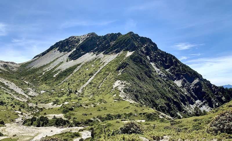
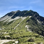
Nanhu Mountain mountain guide
- Elevation: 3740 m
- Difficulty:
- Best months to climb:
- Convenient center:
Nanhu Mountain Climbing Notes
Matthew from UNITED KINGDOM writes:
Climbed it a couple of times - No really technical difficulties, there is a rope section close to the highest cabin, that could be difficult/dangerous in high winds or heavy rain snow. Sometimes the first cabin has no water - so it could be an extra 2 hours down to the river and back down a very steep trail.
A 4 day trip would take 5-8 hours hiking a day depending on fitness. Best month is November
2018-10-13 |
Click here to submit your own climbing note for Nanhu Mountain
|
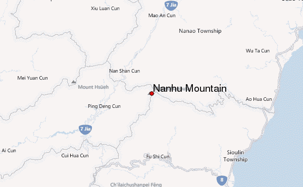
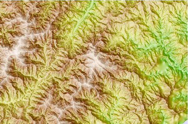
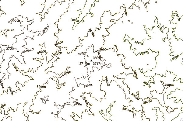
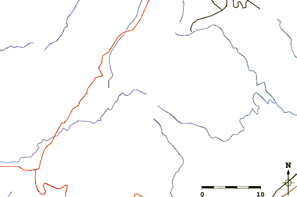
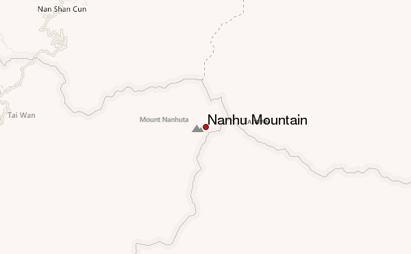
Select Nanhu Mountain Location Map Detail:
Use this relief map to navigate to mountain peaks in the area of Nanhu Mountain.
10 other mountain peaks closest to Nanhu Mountain:
 Nanhu Mountain – Climbing, Hiking & Mountaineering information

 Like us
 Follow us
