– Lat/Long: 51.77° N 3.94° W
 Mynydd y Gwair – Climbing, Hiking & Mountaineering information
Mynydd y Gwair – Climbing, Hiking & Mountaineering information
Mynydd y Gwair mountain guide
- Elevation: 373 m
- Difficulty:
- Best months to climb:
- Convenient center:
Mynydd y Gwair Climbing NotesBe the first to submit your climbing note! Please submit any useful information about climbing Mynydd y Gwair that may be useful to other climbers. Consider things such as access and accommodation at the base of Mynydd y Gwair, as well as the logistics of climbing to the summit. |
| Select a
mountain summit from the menu |
||
|
Select a Mountain Summit
|
||
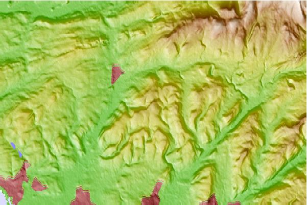
Use this relief map to navigate to mountain peaks in the area of Mynydd y Gwair.
10 other mountain peaks closest to Mynydd y Gwair:
| 1. | Mynydd y Betws (374 m) | 0.2 km |
| 2. | Garreg Lwyd (Black Mountain) (616 m) | 11.2 km |
| 3. | Mynydd Marchywel (417 m) | 11.8 km |
| 4. | Foel Fraith (602 m) | 12.7 km |
| 5. | Garreg Las (635 m) | 15.6 km |
| 6. | Waun Lefrith (677 m) | 17.9 km |
| 7. | Picws Du (749 m) | 19.2 km |
| 8. | Fan Hir (761 m) | 20.1 km |
| 9. | Fan Brycheiniog (802 m) | 20.1 km |
| 10. | Fan Gyhirych (725 m) | 23.5 km |
 Like us
 Follow us
